Bandar-e Deylam - Bahregan
Airport details
| Country | Iran |
| State | Bushehr Province |
| Region | |
| Airspace | Tehran Ctr |
| Municipality | لیراوی جنوبی |
| Elevation | 20ft (6m) |
| Timezone | GMT +3.5 |
| Coordinates | 29.84859, 50.26696 |
| Magnetic var | |
| Type | land |
| Available since | X-Plane v10.32 |
| ICAO code | OI20 |
| IATA code | n/a |
| FAA code | n/a |
Communication
Runway info
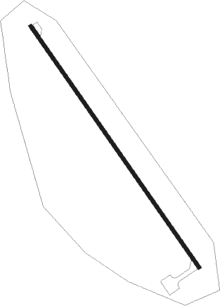
| Runway 15 / 33 | ||
| length | 2199m (7215ft) | |
| bearing | 146° / 326° | |
| width | 30m (98ft) | |
| surface | asphalt | |
| blast zone | 61m (200ft) / 61m (200ft) | |
Nearby beacons
| code | identifier | dist | bearing | frequency |
|---|---|---|---|---|
| BRG | BAHREGAN NDB | 0.2 | 176° | 400 |
| KHG | KHARK ISLAND VOR/DME | 35.2 | 175° | 113.40 |
| KHG | KHARK ISLAND NDB | 35.4 | 175° | 325 |
| GSN | GACHSARAN VOR/DME | 41.7 | 50° | 114.35 |
| GSN | GACHSARAN NDB | 41.9 | 52° | 245 |
| BUZ | BUSHEHR NDB | 60.6 | 148° | 341 |
| BUZ | BUSHEHR VOR/DME | 61.3 | 148° | 117.45 |
| AJ | AGHAJARI NDB | 61.5 | 327° | 365 |
| AJR | AGHAJARI VOR/DME | 61.8 | 327° | 114.90 |
Disclaimer
The information on this website is not for real aviation. Use this data with the X-Plane flight simulator only! Data taken with kind consent from X-Plane 12 source code and data files. Content is subject to change without notice.