Shahid Asyaee
Airport details
| Country | Iran |
| State | Khuzestan Province |
| Region | OI |
| Airspace | Tehran Ctr |
| Municipality | دهستان جهانگیری شمالی |
| Elevation | 1206ft (368m) |
| Timezone | GMT +3.5 |
| Coordinates | 32.00222, 49.26861 |
| Magnetic var | |
| Type | land |
| Available since | X-Plane v10.40 |
| ICAO code | OIAI |
| IATA code | QMJ |
| FAA code | n/a |
Communication
| Shahid Asyaee Tower | 125.600 |
Nearby Points of Interest:
Mizan Dam
-Lashkar Bridge
-Dariun Canal
-Izeh
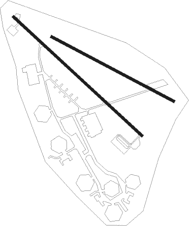
Runway info
Runway 14 / 32  | ||
| length | 1802m (5912ft) | |
| bearing | 133° / 313° | |
| width | 30m (98ft) | |
| surface | asphalt | |
| blast zone | 107m (351ft) / 98m (322ft) | |
| Runway 12 / 30 | ||
| length | 1419m (4656ft) | |
| bearing | 118° / 298° | |
| width | 30m (98ft) | |
| surface | asphalt | |
Nearby beacons
| code | identifier | dist | bearing | frequency |
|---|---|---|---|---|
| AWZ | AHWAZ VOR/DME | 47.5 | 217° | 114 |
| AWZ | AHWAZ NDB | 47.7 | 219° | 415 |
| DZF | DEZFUL VOR/DME | 50.6 | 296° | 112.50 |
| DZF | DEZFUL NDB | 52.2 | 296° | 293 |
Disclaimer
The information on this website is not for real aviation. Use this data with the X-Plane flight simulator only! Data taken with kind consent from X-Plane 12 source code and data files. Content is subject to change without notice.