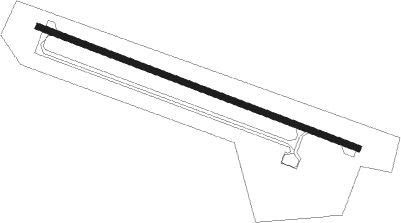
Kangan - Jam
Airport details
| Country | Iran |
| State | Bushehr Province |
| Region | OI |
| Airspace | Tehran Ctr |
| Municipality | دهستان جم |
| Elevation | 2171ft (662m) |
| Timezone | GMT +3.5 |
| Coordinates | 27.82195, 52.35222 |
| Magnetic var | |
| Type | land |
| Available since | X-Plane v10.40 |
| ICAO code | OIBJ |
| IATA code | KNR |
| FAA code | n/a |
Communication
| Jam Tower | 124.350 |
| Jam Tower | 121.650 |
Nearby Points of Interest:
Old Siraf Port
Nearby beacons
| code | identifier | dist | bearing | frequency |
|---|---|---|---|---|
| PRG | PERSIAN GULF NDB | 32.5 | 139° | 457 |
| PRG | PERSIAN GULF VOR/DME | 35.3 | 138° | 112.10 |
| LAM | LAMERD VOR/DME | 51.8 | 118° | 117 |
| LAM | LAMERD NDB | 52.5 | 118° | 346 |
Disclaimer
The information on this website is not for real aviation. Use this data with the X-Plane flight simulator only! Data taken with kind consent from X-Plane 12 source code and data files. Content is subject to change without notice.