Ilam
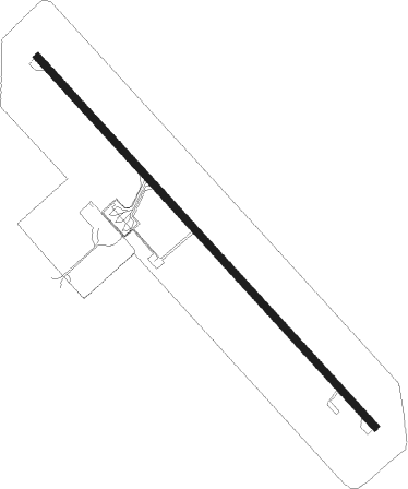
Airport details
| Country | Iran |
| State | Ilam Province |
| Region | OI |
| Airspace | Tehran Ctr |
| Municipality | دهستان کشوری |
| Elevation | 4400ft (1341m) |
| Timezone | GMT +3.5 |
| Coordinates | 33.58556, 46.40445 |
| Magnetic var | |
| Type | land |
| Available since | X-Plane v10.40 |
| ICAO code | OICI |
| IATA code | IIL |
| FAA code | n/a |
Communication
| Ilam INFO | 118.800 |
Approach frequencies
| ILS-cat-I | RW32 | 109.1 | 18.00mi |
| 3.6° GS | RW32 | 109.1 | 18.00mi |
Nearby Points of Interest:
Imamzadeh Pir Husayn (Zanjireh-ye Olya)
-Tang-e Luleh Ab Dam
-Imamzadeh Nezam al-Din and Taj al-Din
-Wezmeh
Nearby beacons
| code | identifier | dist | bearing | frequency |
|---|---|---|---|---|
| ILM | ILAM VOR/DME | 0.6 | 123° | 112.60 |
| KMS | KERMANSHAH NDB | 59 | 44° | 382 |
| KMS | KERMANSHAH VOR/DME | 59.1 | 45° | 114.60 |
Departure and arrival routes
| Transition altitude | 14000ft |
| Transition level | 16000ft |
| SID end points | distance | outbound heading | |
|---|---|---|---|
| RW14 | |||
| ALTE1B | 31mi | 95° | |
| RW32 | |||
| ALTE1A | 31mi | 95° | |
| STAR starting points | distance | inbound heading | |
|---|---|---|---|
| ALL | |||
| ALTE1A, ALTE1B | 30.6 | 275° | |
Holding patterns
| STAR name | hold at | type | turn | heading* | altitude | leg | speed limit |
|---|---|---|---|---|---|---|---|
| ALTE1A | D091R | VHF | right | 91 (271)° | 11000ft - 14000ft | 1.0min timed | ICAO rules |
| *) magnetic outbound (inbound) holding course | |||||||
Disclaimer
The information on this website is not for real aviation. Use this data with the X-Plane flight simulator only! Data taken with kind consent from X-Plane 12 source code and data files. Content is subject to change without notice.