Tabas
Airport details
| Country | Iran |
| State | South Khorasan Province |
| Region | OI |
| Airspace | Tehran Ctr |
| Municipality | دهستان منتظریه |
| Elevation | 2312ft (705m) |
| Timezone | GMT +3.5 |
| Coordinates | 33.66806, 56.89333 |
| Magnetic var | |
| Type | land |
| Available since | X-Plane v10.40 |
| ICAO code | OIMT |
| IATA code | TCX |
| FAA code | n/a |
Communication
| Tabas Tabas Information | 122.550 |
| Tabas Tabas Tower | 122.250 |
| Tabas Tabas Ground | 121.250 |
Nearby Points of Interest:
Jameh Mosque of Raqqeh
-Dahaneh Watermill
-Mostowfi House (Boshruyeh)
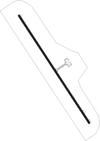
Runway info
| Runway 15 / 33 | ||
| length | 3005m (9859ft) | |
| bearing | 146° / 326° | |
| width | 45m (148ft) | |
| surface | asphalt | |
| blast zone | 200m (656ft) / 200m (656ft) | |
Nearby beacons
| code | identifier | dist | bearing | frequency |
|---|---|---|---|---|
| TBS | TABAS VOR/DME | 0.2 | 343° | 113 |
| TBS | TABAS NDB | 0.3 | 123° | 395 |
Departure and arrival routes
| Transition altitude | 10000ft |
| Transition level | 12000ft |
| SID end points | distance | outbound heading | |
|---|---|---|---|
| RW15 | |||
| PATE1D, PATE1B | 38mi | 47° | |
| ALMU1D, ALMU1B | 36mi | 237° | |
| RW33 | |||
| PATE1A, PATE1C | 38mi | 47° | |
| ALMU1A, ALMU1C | 36mi | 237° | |
| STAR starting points | distance | inbound heading | |
|---|---|---|---|
| ALL | |||
| ALMU1N | 35.9 | 57° | |
| PATE1N | 37.7 | 227° | |
Disclaimer
The information on this website is not for real aviation. Use this data with the X-Plane flight simulator only! Data taken with kind consent from X-Plane 12 source code and data files. Content is subject to change without notice.