Yasouj
Airport details
| Country | Iran |
| State | Kohgiluye and Buyer Ahmad Province |
| Region | OI |
| Airspace | Tehran Ctr |
| Municipality | دهستان سررودشمالی |
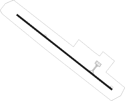
| Elevation | 5937ft (1810m) |
| Timezone | GMT +3.5 |
| Coordinates | 30.69695, 51.55000 |
| Magnetic var | |
| Type | land |
| Available since | X-Plane v10.40 |
| ICAO code | OISY |
| IATA code | YES |
| FAA code | n/a |
Communication
| Yasouj INFO | 121.800 |
| Yasouj INFO | 123.750 |
Nearby beacons
| code | identifier | dist | bearing | frequency |
|---|---|---|---|---|
| YSJ | YASOUJ NDB | 0.2 | 345° | 235 |
| YSJ | YASOUJ VOR/DME | 0.4 | 118° | 116.55 |
| GSN | GACHSARAN NDB | 42 | 240° | 245 |
| GSN | GACHSARAN VOR/DME | 42.5 | 242° | 114.35 |
Departure and arrival routes
| Transition altitude | 15000ft |
| Transition level | 17000ft |
| SID end points | distance | outbound heading | |
|---|---|---|---|
| RW31 | |||
| MIPU1A | 20mi | 27° | |
| RADI1A | 18mi | 202° | |
| STAR starting points | distance | inbound heading | |
|---|---|---|---|
| RW13 | |||
| RADI1N | 18.0 | 22° | |
| MIPU1N | 19.9 | 207° | |
Holding patterns
| STAR name | hold at | type | turn | heading* | altitude | leg | speed limit |
|---|---|---|---|---|---|---|---|
| MIPU1N | D275O | VHF | left | 275 (95)° | > 12500ft | 1.0min timed | ICAO rules |
| RADI1N | D275O | VHF | left | 275 (95)° | > 12500ft | 1.0min timed | ICAO rules |
| *) magnetic outbound (inbound) holding course | |||||||
Disclaimer
The information on this website is not for real aviation. Use this data with the X-Plane flight simulator only! Data taken with kind consent from X-Plane 12 source code and data files. Content is subject to change without notice.