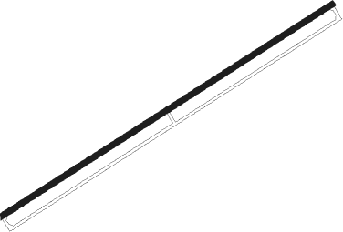
Tripoli - Rene Mouawad
Airport details
| Country | Lebanon |
| State | Akkar Governorate |
| Region | OL |
| Airspace | Beirut Ctr |
| Municipality | El Qlaiaat |
| Elevation | 75ft (23m) |
| Timezone | GMT +2 |
| Coordinates | 34.58933, 36.01147 |
| Magnetic var | |
| Type | land |
| Available since | X-Plane v10.40 |
| ICAO code | OLKA |
| IATA code | KYE |
| FAA code | n/a |
Communication
| RENE MOUAWAD Tower | 123.100 |
| RENE MOUAWAD Tower | 119.500 |
Nearby Points of Interest:
El Mina
-Palm Islands Nature Reserve
-Ouadi Qadisha (the Holy Valley) and the Forest of the Cedars of God (Horsh Arz el-Rab)
-Tartus
-Cedars of God
-hôpital Saint-Michel d'Amchit
Nearby beacons
| code | identifier | dist | bearing | frequency |
|---|---|---|---|---|
| RA | KLEYATE NDB | 0.4 | 250° | 450 |
| CAK | CHEKA VOR/DME | 23.2 | 227° | 116.20 |
| BAN | BANIAS NDB | 38.4 | 355° | 304 |
| LTK | LATAKIA VOR/DME | 48.6 | 356° | 114.80 |
| BOD | BOD NDB | 48.8 | 218° | 351 |
| LTK | LATAKIA NDB | 53.6 | 356° | 414 |
| KAD | KALDE VOR/DME | 53.7 | 214° | 112.60 |
| BAR | BAYSUR VOR | 54.2 | 209° | 113.90 |
Disclaimer
The information on this website is not for real aviation. Use this data with the X-Plane flight simulator only! Data taken with kind consent from X-Plane 12 source code and data files. Content is subject to change without notice.
