Al Hamra Aux
Airport details
| Country | United Arab Emirates |
| State | Abu Dhabi Emirate |
| Region | |
| Airspace | Emirates Ctr |
| Municipality | Al Shuweehat |
| Elevation | 16ft (5m) |
| Timezone | GMT +4 |
| Coordinates | 24.08509, 52.46141 |
| Magnetic var | |
| Type | land |
| Available since | X-Plane v10.30 |
| ICAO code | OMAH |
| IATA code | n/a |
| FAA code | n/a |
Communication
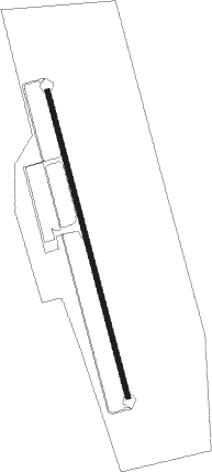
Runway info
| Runway 17 / 35 | ||
| length | 2510m (8235ft) | |
| bearing | 169° / 349° | |
| width | 45m (148ft) | |
| surface | asphalt | |
Nearby beacons
| code | identifier | dist | bearing | frequency |
|---|---|---|---|---|
| JD | JEBEL DHANA NDB | 11 | 57° | 302 |
| BH | BUHASA NDB | 57.9 | 117° | 309 |
Disclaimer
The information on this website is not for real aviation. Use this data with the X-Plane flight simulator only! Data taken with kind consent from X-Plane 12 source code and data files. Content is subject to change without notice.