Arzanah Island - Arzanah
Airport details
| Country | United Arab Emirates |
| State | Abu Dhabi Emirate |
| Region | OM |
| Airspace | Emirates Ctr |
| Municipality | Arzanah Island |
| Elevation | 15ft (5m) |
| Timezone | GMT +4 |
| Coordinates | 24.78083, 52.55972 |
| Magnetic var | |
| Type | land |
| Available since | X-Plane v10.32 |
| ICAO code | OMAR |
| IATA code | n/a |
| FAA code | n/a |
Communication
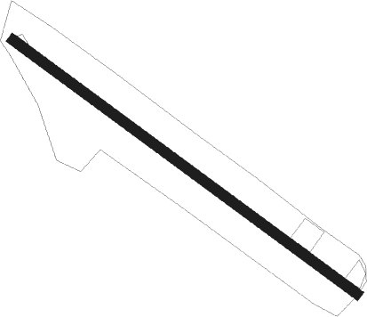
Runway info
| Runway 13 / 31 | ||
| length | 1045m (3428ft) | |
| bearing | 128° / 308° | |
| width | 25m (82ft) | |
| surface | concrete | |
| displ threshold | 107m (351ft) / 45m (148ft) | |
Nearby beacons
| code | identifier | dist | bearing | frequency |
|---|---|---|---|---|
| JD | JEBEL DHANA NDB | 35.4 | 174° | 302 |
| WK | DOHA INTL NDB | 57.5 | 293° | 323 |
| DOH | DOHA/HAMAD INTL VOR/DME | 58.8 | 296° | 114.40 |
| DIA | DOHA INTL VOR/DME | 60 | 295° | 112.40 |
Disclaimer
The information on this website is not for real aviation. Use this data with the X-Plane flight simulator only! Data taken with kind consent from X-Plane 12 source code and data files. Content is subject to change without notice.