Walton
Airport details
| Country | Pakistan |
| State | Punjab |
| Region | OP |
| Airspace | Lahore Ctr |
| Municipality | Lahore |
| Elevation | 679ft (207m) |
| Timezone | GMT +5 |
| Coordinates | 31.48970, 74.34887 |
| Magnetic var | |
| Type | land |
| Available since | X-Plane v10.40 |
| ICAO code | OPLH |
| IATA code | n/a |
| FAA code | n/a |
Communication
| Walton Tower | 119.400 |
Nearby Points of Interest:
Lahore Fort
-Fort and Shalamar Gardens in Lahore
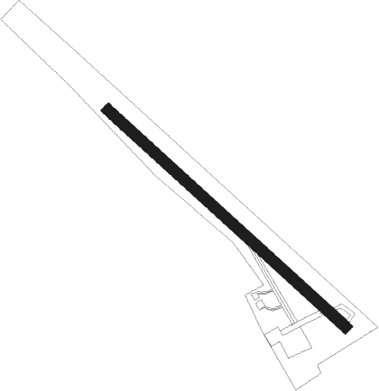
Runway info
| Runway 14 / 32 | ||
| length | 1338m (4390ft) | |
| bearing | 132° / 312° | |
| width | 45m (148ft) | |
| surface | concrete | |
| displ threshold | 115m (377ft) / 0m (0ft) | |
Nearby beacons
| code | identifier | dist | bearing | frequency |
|---|---|---|---|---|
| LA | LAHORE NDB | 3.1 | 55° | 268 |
| LO | LAHORE NDB | 3.8 | 131° | 338 |
| SP | SHEIKHUPURA NDB | 21.9 | 301° | 317 |
| AR | AMRITSAR NDB | 26.3 | 67° | 351 |
| AAR | AMRITSAR VOR/DME | 26.5 | 61° | 115.50 |
Disclaimer
The information on this website is not for real aviation. Use this data with the X-Plane flight simulator only! Data taken with kind consent from X-Plane 12 source code and data files. Content is subject to change without notice.