Pasni
Airport details
| Country | Pakistan |
| State | Balochistan |
| Region | OP |
| Airspace | Karachi Ctr |
| Municipality | Gwadar District |
| Elevation | 33ft (10m) |
| Timezone | GMT +5 |
| Coordinates | 25.29016, 63.34442 |
| Magnetic var | |
| Type | land |
| Available since | X-Plane v10.40 |
| ICAO code | OPPI |
| IATA code | PSI |
| FAA code | n/a |
Communication
| Pasni Ground Control | 121.800 |
| Pasni Tower | 124.300 |
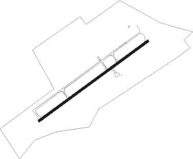
Runway info
| Runway 06 / 24 | ||
| length | 2734m (8970ft) | |
| bearing | 61° / 241° | |
| width | 46m (151ft) | |
| surface | asphalt | |
| blast zone | 255m (837ft) / 255m (837ft) | |
Nearby beacons
| code | identifier | dist | bearing | frequency |
|---|---|---|---|---|
| PI | PASNI NDB | 0.2 | 117° | 400 |
| TU | TURBAT NDB | 45.3 | 336° | 237 |
Disclaimer
The information on this website is not for real aviation. Use this data with the X-Plane flight simulator only! Data taken with kind consent from X-Plane 12 source code and data files. Content is subject to change without notice.