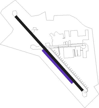
Qasim
Airport details
| Country | Pakistan |
| State | Punjab |
| Region | OP |
| Airspace | Lahore Ctr |
| Municipality | Rawalpindi |
| Elevation | 1581ft (482m) |
| Timezone | GMT +5 |
| Coordinates | 33.56167, 73.03167 |
| Magnetic var | |
| Type | land |
| Available since | X-Plane v10.40 |
| ICAO code | OPQS |
| IATA code | n/a |
| FAA code | n/a |
Communication
| QASIM Tower | 119.700 |
| QASIM Tower | 118.100 |
| QASIM Tower | 118.400 |
Nearby Points of Interest:
Mohra Muradu
-Taxila

Nearby beacons
| code | identifier | dist | bearing | frequency |
|---|---|---|---|---|
| RN | ISLAMABAD VOR/DME | 5.4 | 65° | 112.10 |
| BTR | ISLAMABAD VOR/DME | 8.8 | 264° | 114.60 |
| RT | RAWALAKOT NDB | 42 | 70° | 295 |
| MF | MUZAFFARABAD NDB | 52.5 | 31° | 207 |
Disclaimer
The information on this website is not for real aviation. Use this data with the X-Plane flight simulator only! Data taken with kind consent from X-Plane 12 source code and data files. Content is subject to change without notice.