Homestead - Oxbow
Airport details
| Country | United States of America |
| State | Oregon |
| Region | K2 |
| Airspace | Salt Lake City Ctr |
| Municipality | Baker County |
| Elevation | 1806ft (550m) |
| Timezone | GMT -7 |
| Coordinates | 45.00432, -116.84904 |
| Magnetic var | |
| Type | land |
| Available since | X-Plane v10.40 |
| ICAO code | OR12 |
| IATA code | n/a |
| FAA code | OR12 |
Communication
Nearby Points of Interest:
Lick Creek Guard Station
-Cornucopia Jailhouse
-Pacific and Idaho Northern Railroad Depot
-Adams County Courthouse
-Council Ranger Station
-Col. E. M. Heigho House
-College Creek Ranger Station
-Dr. J. W. Barnard Building and First National Bank of Joseph
-Wilson House
-Salubria Lodge No. 31
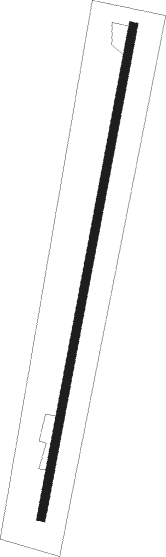
Runway info
| Runway 17 / 35 | ||
| length | 902m (2959ft) | |
| bearing | 201° / 21° | |
| width | 15m (50ft) | |
| surface | asphalt | |
Nearby beacons
| code | identifier | dist | bearing | frequency |
|---|---|---|---|---|
| DNJ | DONNELLY (MC CALL) VOR/DME | 30.8 | 110° | 116.20 |
| BKE | BAKER CITY VOR/DME | 41.9 | 260° | 115.30 |
Disclaimer
The information on this website is not for real aviation. Use this data with the X-Plane flight simulator only! Data taken with kind consent from X-Plane 12 source code and data files. Content is subject to change without notice.