Azaz - Minakh
Airport details
| Country | Syrian Arab Republic |
| State | Aleppo Governorate |
| Region | |
| Airspace | Damascus Ctr |
| Municipality | Azaz Subdistrict |
| Elevation | 1611ft (491m) |
| Timezone | GMT +3 |
| Coordinates | 36.51910, 37.03844 |
| Magnetic var | |
| Type | land |
| Available since | X-Plane v10.40 |
| ICAO code | OS71 |
| IATA code | n/a |
| FAA code | n/a |
Communication
Nearby Points of Interest:
Sitt er-Rum (Syria)
-Mushabbak
-Souq Khan al-Wazir
-Bimaristan Arghun al-Kamili
-Ancient City of Aleppo
-Ba'uda (Dschebel Barisha)
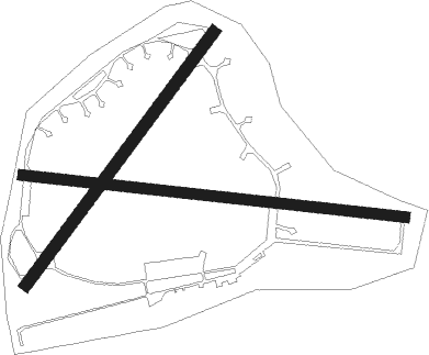
Runway info
Runway 10 / 28  | ||
| length | 1497m (4911ft) | |
| bearing | 99° / 279° | |
| width | 40m (130ft) | |
| surface | asphalt | |
| Runway 04 / 22 | ||
| length | 1225m (4019ft) | |
| bearing | 47° / 227° | |
| width | 44m (145ft) | |
| surface | asphalt | |
Nearby beacons
| code | identifier | dist | bearing | frequency |
|---|---|---|---|---|
| ALE | ALEPPO NDB | 21.9 | 151° | 396 |
| MER | ALEPPO NDB | 24.5 | 142° | 365 |
| GAZ | GAZIANTEP NDB | 33.3 | 45° | 432 |
| HTY | HATAY NDB | 37.3 | 258° | 336 |
Disclaimer
The information on this website is not for real aviation. Use this data with the X-Plane flight simulator only! Data taken with kind consent from X-Plane 12 source code and data files. Content is subject to change without notice.