Palmer - Palmer Muni
Airport details
| Country | United States of America |
| State | Alaska |
| Region | PA |
| Municipality | City of Palmer |
| Elevation | 242ft (74m) |
| Timezone | GMT -9 |
| Coordinates | 61.60560, -149.09116 |
| Magnetic var | |
| Type | land |
| Available since | X-Plane v10.40 |
| ICAO code | PAAQ |
| IATA code | PAQ |
| FAA code | PAQ |
Communication
| Palmer Muni CTAF | 123.600 |
Nearby Points of Interest:
Hyland Hotel
-Palmer Depot
-United Protestant Church
-Bailey Colony Farm
-Raymond Rebarchek Colony Farm
-Campbell House
-Wasilla Elementary School
-Teeland's Country Store
-Spring Creek Lodge
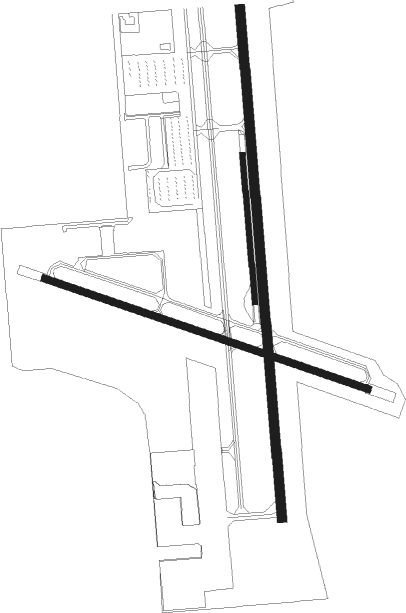
Runway info
Runway 16 / 34  | ||
| length | 1828m (5997ft) | |
| bearing | 180° / 360° | |
| width | 30m (100ft) | |
| surface | asphalt | |
| displ threshold | 152m (499ft) / 0m (0ft) | |
| blast zone | 181m (594ft) / 181m (594ft) | |
| Runway 10 / 28 | ||
| length | 1099m (3606ft) | |
| bearing | 102° / 282° | |
| width | 23m (75ft) | |
| surface | asphalt | |
| Runway 16R / 34L | ||
| length | 475m (1558ft) | |
| bearing | 180° / 360° | |
| width | 18m (60ft) | |
| surface | gravel | |
Nearby beacons
| code | identifier | dist | bearing | frequency |
|---|---|---|---|---|
| BGQ | BIG LAKE VORTAC | 25.1 | 268° | 112.50 |
| EDF | ELMENDORF (ANCHORAGE) TACAN | 28.6 | 243° | 113.40 |
| TED | ANCHORAGE VOR/DME | 36.2 | 243° | 113.15 |
Departure and arrival routes
| Transition altitude | 18000ft |
| Transition level | 18000ft |
| SID end points | distance | outbound heading | |
|---|---|---|---|
| RW16 | |||
| PALMR5 | 25mi | 268° | |
| RW28 | |||
| PALMR5 | 25mi | 268° | |
| RW34 | |||
| PALMR5 | 25mi | 268° | |
Instrument approach procedures
| runway | airway (heading) | route (dist, bearing) |
|---|---|---|
| RW10 | BGQ (88°) | BGQ INICE (6mi, 83°) 3400ft LEYIT (7mi, 83°) 3300ft |
| RNAV | LEYIT 3300ft FAPUN (6mi, 87°) 2300ft RIGAE (3mi, 102°) 1300ft PAAQ (3mi, 95°) 273ft (6851mi, 112°) 649ft INICE (6862mi, 292°) 3600ft INICE (turn) | |
| RWNVA | BGQ (88°) | BGQ OWGAT (13mi, 97°) 4000ft KIYAV (4mi, 99°) 2500ft |
| RNAV | KIYAV 2500ft ZUYEB (6mi, 78°) 2000ft MAVUE (4mi, 61°) 1300ft (6853mi, 112°) 1300ft BGQ (6867mi, 292°) 4500ft BGQ (turn) |
Disclaimer
The information on this website is not for real aviation. Use this data with the X-Plane flight simulator only! Data taken with kind consent from X-Plane 12 source code and data files. Content is subject to change without notice.