Bethel
Airport details
| Country | United States of America |
| State | Alaska |
| Region | PA |
| Municipality | Bethel |
| Elevation | 125ft (38m) |
| Timezone | GMT -9 |
| Coordinates | 60.77856, -161.83717 |
| Magnetic var | |
| Type | land |
| Available since | X-Plane v10.40 |
| ICAO code | PABE |
| IATA code | BET |
| FAA code | BET |
Communication
| Bethel ATIS | 119.800 |
| Bethel CTAF/BETHEL WX | 118.700 |
| Bethel CTAF/BETHEL WX | 122.000 |
| Bethel Bethel Ground | 121.700 |
| Bethel Bethel Tower | 118.700 |
| Bethel Anchorage ARTCC | 125.200 |
Approach frequencies
| ILS-cat-I | RW19R | 111.5 | 18.00mi |
| 3° GS | RW19R | 111.5 | 18.00mi |
Nearby Points of Interest:
St. Jacob's Church (Napaskiak, Alaska)
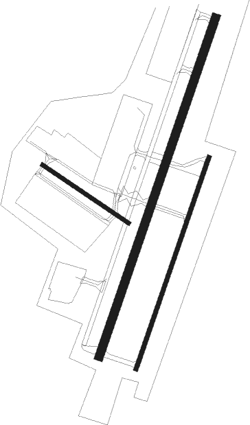
Runway info
Runway 1L / 19R  | ||
| length | 1946m (6385ft) | |
| bearing | 42° / 222° | |
| width | 46m (151ft) | |
| surface | asphalt | |
| blast zone | 66m (217ft) / 55m (180ft) | |
| Runway 1R / 19L | ||
| length | 1217m (3993ft) | |
| bearing | 42° / 222° | |
| width | 23m (75ft) | |
| surface | asphalt | |
| Runway 12 / 30 | ||
| length | 565m (1854ft) | |
| bearing | 111° / 291° | |
| width | 23m (75ft) | |
| surface | asphalt | |
| blast zone | 0m (0ft) / 54m (177ft) | |
Nearby beacons
| code | identifier | dist | bearing | frequency |
|---|---|---|---|---|
| BET | BETHEL VORTAC | 0.5 | 64° | 114.10 |
| OSE | OSCARVILLE (BETHEL) NDB | 1.2 | 290° | 251 |
Instrument approach procedures
| runway | airway (heading) | route (dist, bearing) |
|---|---|---|
| RW01L | CITAY (352°) | CITAY ROMAC (6mi, 282°) 2000ft |
| RW01L | LIJHA (68°) | LIJHA ROMAC (6mi, 102°) 2000ft |
| RW01L | ROMAC (41°) | ROMAC 2000ft |
| RNAV | ROMAC 2000ft NAPAC (6mi, 41°) 1800ft PABE (5mi, 42°) 174ft (7065mi, 111°) 377ft KUSKM (7059mi, 291°) ROLLR (13mi, 269°) 2000ft ROLLR (turn) | |
| RW01R | NIPSE (337°) | NIPSE PUYIC (8mi, 282°) 2000ft |
| RW01R | NIRVE (73°) | NIRVE PUYIC (8mi, 102°) 2000ft |
| RW01R | PUYIC (41°) | PUYIC 2000ft |
| RNAV | PUYIC 2000ft BOZEL (6mi, 41°) 1800ft DISVE (3mi, 41°) 960ft PABE (3mi, 39°) 177ft (7065mi, 111°) 600ft ROLLR (7064mi, 291°) 2000ft ROLLR (turn) | |
| RW19L | INEME (162°) | INEME SUYOC (8mi, 102°) 1900ft |
| RW19L | LAEVO (252°) | LAEVO SUYOC (8mi, 282°) 1900ft |
| RW19L | SUYOC (222°) | SUYOC 1900ft |
| RNAV | SUYOC 1900ft FAPLO (7mi, 222°) 1800ft PABE (5mi, 223°) 167ft (7065mi, 111°) 600ft ROLLR (7064mi, 291°) 2000ft ROLLR (turn) | |
| RW19R | CATUB (222°) | CATUB 1800ft |
| RW19R | RATNE (256°) | RATNE CATUB (10mi, 282°) 1800ft |
| RW19R | TOORR (151°) | TOORR CATUB (10mi, 102°) 1800ft |
| RNAV | CATUB 1800ft KAYSE (7mi, 222°) 1800ft PABE (6mi, 222°) 154ft (7065mi, 111°) 1700ft ROLLR (7064mi, 291°) 2000ft ROLLR (turn) |
Disclaimer
The information on this website is not for real aviation. Use this data with the X-Plane flight simulator only! Data taken with kind consent from X-Plane 12 source code and data files. Content is subject to change without notice.