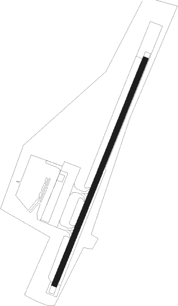
Dillingham
Airport details
| Country | United States of America |
| State | Alaska |
| Region | PA |
| Municipality | Dillingham |
| Elevation | 74ft (23m) |
| Timezone | GMT -9 |
| Coordinates | 59.04467, -158.50549 |
| Magnetic var | |
| Type | land |
| Available since | X-Plane v10.40 |
| ICAO code | PADL |
| IATA code | DLG |
| FAA code | DLG |
Communication
| Dillingham AWOS 3 | 135.550 |
| Dillingham CTAF | 123.600 |
| Dillingham ATIS | 125.000 |
Approach frequencies
| LOC | RW19 | 111.9 | 18.00mi |
Nearby Points of Interest:
Transfiguration of Our Lord Chapel
Nearby beacons
| code | identifier | dist | bearing | frequency |
|---|---|---|---|---|
| BTS | WOOD RIVER (DILLINGHAM) NDB | 3 | 224° | 429 |
| DLG | DILLINGHAM VOR/DME | 3.3 | 223° | 116.40 |
Instrument approach procedures
| runway | airway (heading) | route (dist, bearing) |
|---|---|---|
| RW01 | FISAX (44°) | FISAX 2000ft |
| RW01 | JOVRY (76°) | JOVRY FISAX (10mi, 104°) 2000ft |
| RW01 | KIYGE (340°) | KIYGE FISAX (10mi, 284°) 2000ft |
| RNAV | FISAX 2000ft SUBWA (8mi, 44°) 1700ft PADL (5mi, 44°) 120ft (7122mi, 110°) 332ft ZEDAG (7109mi, 291°) 4300ft ZEDAG (turn) 4300ft | |
| RW19 | ZEDAG (224°) | ZEDAG 4300ft |
| RNAV | ZEDAG 4300ft JUBAL (8mi, 224°) 1900ft PADL (6mi, 224°) 115ft (7122mi, 110°) 482ft RALRY (7135mi, 290°) 2600ft RALRY (turn) |
Disclaimer
The information on this website is not for real aviation. Use this data with the X-Plane flight simulator only! Data taken with kind consent from X-Plane 12 source code and data files. Content is subject to change without notice.