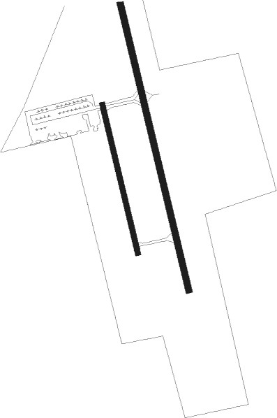
Gulkana
Airport details
| Country | United States of America |
| State | Alaska |
| Region | PA |
| Municipality | Copper River |
| Elevation | 1580ft (482m) |
| Timezone | GMT -9 |
| Coordinates | 62.15495, -145.45433 |
| Magnetic var | |
| Type | land |
| Available since | X-Plane v10.40 |
| ICAO code | PAGK |
| IATA code | GKN |
| FAA code | GKN |
Communication
| Gulkana ASOS | 134.850 |
| Gulkana CTAF | 122.900 |
Nearby Points of Interest:
Gakona Roadhouse

Nearby beacons
| code | identifier | dist | bearing | frequency |
|---|---|---|---|---|
| GKN | GULKANA VOR/DME | 0.2 | 100° | 115.60 |
| GLA | GLENNALLEN (GULKANA) NDB | 2.4 | 342° | 248 |
Instrument approach procedures
| runway | airway (heading) | route (dist, bearing) |
|---|---|---|
| RW15L | BEFTI (248°) | BEFTI PULGE (13mi, 257°) 5200ft BEPNE (13mi, 256°) 4500ft ICCOH (7mi, 266°) 4200ft |
| RW15L | KLUNG (35°) | KLUNG FERGY (17mi, 355°) 6600ft SPUMY (17mi, 355°) 4500ft ICCOH (7mi, 86°) 4200ft |
| RW15L | UREKA (83°) | UREKA SMOKY (20mi, 83°) 6300ft COVAX (11mi, 63°) 5400ft SPUMY (11mi, 63°) 4500ft ICCOH (7mi, 86°) 4200ft |
| RNAV | ICCOH 4200ft PRUTA (5mi, 161°) 3600ft JIKAB (5mi, 161°) 2160ft PAGK (2mi, 161°) 1635ft (6764mi, 113°) 2100ft SMOKY (6783mi, 293°) 7000ft SMOKY (turn) 7000ft | |
| RW33R | GKN (280°) | GKN MITIH (13mi, 163°) 3900ft MITIH (turn) 3900ft |
| RW33R | KLUNG (35°) | KLUNG CEMOP (7mi, 62°) 6600ft MITIH (7mi, 62°) 3900ft |
| RW33R | UREKA (83°) | UREKA SMOKY (20mi, 83°) 6300ft MARSC (20mi, 102°) 5000ft MITIH (8mi, 86°) 3900ft |
| RNAV | MITIH 3900ft YEYGI (6mi, 342°) 3600ft PAGK (7mi, 341°) 1596ft (6764mi, 113°) 2100ft SMOKY (6783mi, 293°) 7000ft SMOKY (turn) 7000ft |
Disclaimer
The information on this website is not for real aviation. Use this data with the X-Plane flight simulator only! Data taken with kind consent from X-Plane 12 source code and data files. Content is subject to change without notice.