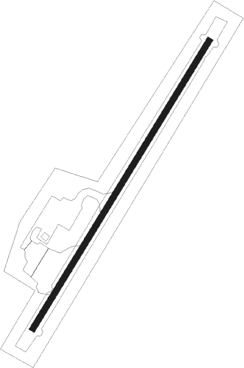
Golovin
Airport details
| Country | United States of America |
| State | Alaska |
| Region | PA |
| Municipality | Golovin |
| Elevation | 59ft (18m) |
| Timezone | GMT -9 |
| Coordinates | 64.55045, -163.00717 |
| Magnetic var | |
| Type | land |
| Available since | X-Plane v10.40 |
| ICAO code | PAGL |
| IATA code | GLV |
| FAA code | GLV |
Communication
| Golovin AWOS-3 | 135.750 |
| Golovin CTAF | 122.900 |
| Golovin Anchorage App Dep | 133.300 |
Nearby beacons
| code | identifier | dist | bearing | frequency |
|---|---|---|---|---|
| MOS | MOSES POINT (ELIM) VOR/DME | 25.6 | 81° | 116.30 |
| OAY | NORTON BAY (MOSES PT) NDB | 25.7 | 81° | 263 |
Departure and arrival routes
| Transition altitude | 18000ft |
| Transition level | 18000ft |
| SID end points | distance | outbound heading | |
|---|---|---|---|
| RW03 | |||
| OME2 | 58mi | 268° | |
| RW21 | |||
| OME2 | 58mi | 268° | |
Instrument approach procedures
| runway | airway (heading) | route (dist, bearing) |
|---|---|---|
| RW03 | JODMI (68°) | JODMI ZOVAN (8mi, 100°) 3000ft |
| RW03 | TAMVE (352°) | TAMVE ZOVAN (8mi, 280°) 3000ft |
| RW03 | ZOVAN (43°) | ZOVAN 6000ft ZOVAN (turn) 3000ft |
| RNAV | ZOVAN 3000ft HAPNA (8mi, 42°) 2900ft TINOC (4mi, 42°) 1580ft VIYUV (2mi, 42°) 1040ft XELHU (2mi, 42°) 315ft (6863mi, 112°) 500ft WUKPO (6861mi, 292°) WONAB (23mi, 243°) 3000ft WONAB (turn) | |
| RWNVA | JIRAV (90°) | JIRAV NOCIL (8mi, 59°) 3200ft |
| RWNVA | NOCIL (107°) | NOCIL 6000ft NOCIL (turn) 3200ft |
| RWNVA | SERAI (141°) | SERAI NOCIL (8mi, 239°) 3200ft |
| RNAV | NOCIL 3200ft DADYA (6mi, 107°) 1900ft GIDCE (5mi, 107°) 1000ft (6862mi, 112°) 1000ft TOCOT (6877mi, 292°) FEMEB (14mi, 264°) WONAB (15mi, 281°) 3000ft WONAB (turn) |
Disclaimer
The information on this website is not for real aviation. Use this data with the X-Plane flight simulator only! Data taken with kind consent from X-Plane 12 source code and data files. Content is subject to change without notice.
