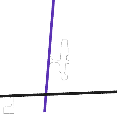
Iliamna
Airport details
| Country | United States of America |
| State | Alaska |
| Region | PA |
| Municipality | Lake and Peninsula |
| Elevation | 186ft (57m) |
| Timezone | GMT -9 |
| Coordinates | 59.75558, -154.91776 |
| Magnetic var | |
| Type | land |
| Available since | X-Plane v10.40 |
| ICAO code | PAIL |
| IATA code | ILI |
| FAA code | ILI |
Communication
| ILIAMNA ASOS | 134.950 |
| ILIAMNA ATIS | 134.950 |
| ILIAMNA CTAF | 123.600 |
Nearby beacons
| code | identifier | dist | bearing | frequency |
|---|---|---|---|---|
| ILI | ILIAMNA NDB | 0.5 | 133° | 411 |
Instrument approach procedures
| runway | airway (heading) | route (dist, bearing) |
|---|---|---|
| RW08 | BEEKS (91°) | BEEKS 5000ft |
| RW08 | OTUWE (77°) | OTUWE BEEKS (10mi, 4°) 5000ft |
| RW08 | YEGUV (105°) | YEGUV BEEKS (10mi, 184°) 5000ft |
| RNAV | BEEKS 5000ft JIBUG (8mi, 91°) 3800ft RUJUV (3mi, 91°) 3100ft FEBOD (5mi, 91°) 1400ft PAIL (4mi, 89°) 227ft (7035mi, 111°) 600ft NUTUW (7051mi, 291°) 7000ft NUTUW (turn) 7000ft | |
| RW18 | EKUPE (235°) | EKUPE JUTUX (10mi, 275°) 5500ft |
| RW18 | JUTUX (199°) | JUTUX 6000ft JUTUX (turn) 5500ft |
| RW18 | WIVIG (150°) | WIVIG JUTUX (10mi, 95°) 5500ft |
| RNAV | JUTUX 5500ft HUDUK (6mi, 198°) 4500ft MUYWY (4mi, 198°) 3300ft SOYOR (7mi, 198°) 1100ft PAIL (3mi, 203°) 213ft (7035mi, 111°) 592ft AGONE (7043mi, 291°) NUTUW (10mi, 258°) 7000ft NUTUW (turn) 7000ft | |
| RW26 | FIVNO (258°) | FIVNO WAKNU (10mi, 186°) 6100ft |
| RW26 | ULPIQ (286°) | ULPIQ WAKNU (10mi, 6°) 6100ft |
| RW26 | WAKNU (272°) | WAKNU 6100ft |
| RNAV | WAKNU 6100ft JUSTM (11mi, 271°) 2800ft WOKAD (4mi, 271°) 1500ft PAIL (5mi, 273°) 179ft (7035mi, 111°) 600ft NUTUW (7051mi, 291°) 7000ft NUTUW (turn) 7000ft | |
| RW36 | CAPRE (16°) | CAPRE 4600ft |
| RW36 | EMEDE (324°) | EMEDE CAPRE (10mi, 275°) 4600ft |
| RW36 | WAMOP (56°) | WAMOP CAPRE (10mi, 95°) 4600ft |
| RNAV | CAPRE 4600ft IDBIW (8mi, 17°) 3300ft VAYUT (8mi, 17°) 800ft PAIL (2mi, 9°) 207ft (7035mi, 111°) 640ft FORAX (7015mi, 291°) 8400ft FORAX (turn) 8400ft |
Disclaimer
The information on this website is not for real aviation. Use this data with the X-Plane flight simulator only! Data taken with kind consent from X-Plane 12 source code and data files. Content is subject to change without notice.

