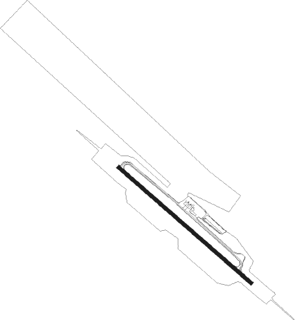
Ketchikan - Ketchikan Intl
Airport details
| Country | United States of America |
| State | Alaska |
| Region | PA |
| Municipality | Ketchikan Gateway |
| Elevation | 85ft (26m) |
| Timezone | GMT -9 |
| Coordinates | 55.35408, -131.71123 |
| Magnetic var | |
| Type | land |
| Available since | X-Plane v10.40 |
| ICAO code | PAKT |
| IATA code | KTN |
| FAA code | KTN |
Communication
| Ketchikan Intl AFIS/ASOS | 134.450 |
| Ketchikan Intl UNICOM | 122.950 |
| Ketchikan Intl CTAF | 123.600 |
| Ketchikan Intl App Anchorage ARTCC | 118.500 |
| Ketchikan Intl Dep Anchorage ARTCC | 118.500 |
Approach frequencies
| ILS-cat-I | RW11 | 109.3 | 18.00mi |
| 3° GS | RW11 | 109.3 | 18.00mi |
Nearby Points of Interest:
Ketchikan Ranger House
-Walker-Broderick House
-Gilmore Building
-Burkhart-Dibrell House
-Ziegler House
-Ketchikan Federal Building
-The Star
-Stedman-Thomas Historic District
-Downtown Ketchikan Historic District
-Chief Kashakes House
-Father William Duncan House

Nearby beacons
| code | identifier | dist | bearing | frequency |
|---|---|---|---|---|
| CMJ | CLAM COVE (KETCHIKAN) NDB | 1 | 120° | 396 |
| ICK | NICHOLS (ANNETTE I.) NDB | 17.3 | 159° | 266 |
| ANN | ANNETTE ISLAND VOR/DME | 18.2 | 156° | 117.10 |
Departure and arrival routes
| Transition altitude | 18000ft |
| Transition level | 18000ft |
| SID end points | distance | outbound heading | |
|---|---|---|---|
| RW29 | |||
| SKOWL2 | 23mi | 301° | |
Instrument approach procedures
| runway | airway (heading) | route (dist, bearing) |
|---|---|---|
| RW11 | DOOZI (121°) | DOOZI JANEM (8mi, 123°) 4600ft COSIL (5mi, 120°) 3000ft |
| RW11 | DWARF (93°) | DWARF JANEM (12mi, 58°) 4600ft COSIL (5mi, 120°) 3000ft |
| RNAV | COSIL 3000ft WETOL (2mi, 120°) 2400ft PAKT (8mi, 120°) 135ft FESVA (3mi, 120°) ANN (16mi, 165°) 5000ft ANN (turn) | |
| RW29 | ANN (336°) | ANN ZIKMU (9mi, 63°) 4500ft ZIKMU (turn) 4500ft |
| RNAV | ZIKMU 4500ft YADUR (7mi, 300°) 3500ft PAKT (10mi, 300°) 139ft (6740mi, 113°) 492ft CLOYD (6741mi, 293°) DOOZI (16mi, 301°) 5000ft DOOZI (turn) | |
| RWNVB | DWARF (93°) | DWARF GIRTS (26mi, 113°) 4800ft LATRY (8mi, 61°) 4400ft |
| RNAV | LATRY 4400ft ROZMO (6mi, 300°) 3600ft PAKT (6mi, 300°) 138ft (6740mi, 113°) 492ft CLOYD (6741mi, 293°) DOOZI (16mi, 301°) 5000ft DOOZI (turn) |
Disclaimer
The information on this website is not for real aviation. Use this data with the X-Plane flight simulator only! Data taken with kind consent from X-Plane 12 source code and data files. Content is subject to change without notice.