St Michael
Airport details
| Country | United States of America |
| State | Alaska |
| Region | PA |
| Municipality | St. Michael |
| Elevation | 91ft (28m) |
| Timezone | GMT -9 |
| Coordinates | 63.49006, -162.11038 |
| Magnetic var | |
| Type | land |
| Available since | X-Plane v10.40 |
| ICAO code | PAMK |
| IATA code | SMK |
| FAA code | SMK |
Communication
| St Michael ASOS | 119.275 |
| St Michael CTAF/UNICOM | 122.800 |
Nearby Points of Interest:
Fort St. Michael
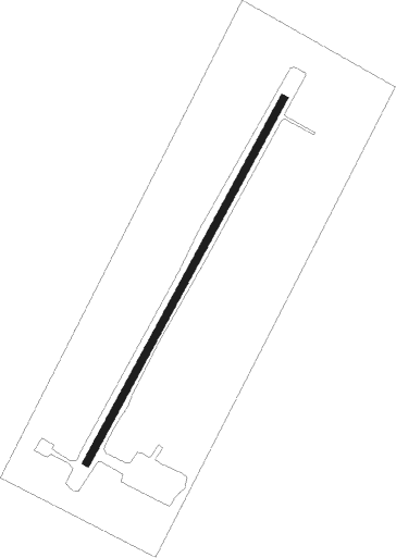
Runway info
| Runway 02 / 20 | ||
| length | 1223m (4012ft) | |
| bearing | 55° / 235° | |
| width | 23m (75ft) | |
| surface | gravel | |
| blast zone | 91m (299ft) / 90m (295ft) | |
Instrument approach procedures
| runway | airway (heading) | route (dist, bearing) |
|---|---|---|
| RW02 | DUKGE (40°) | DUKGE 2200ft |
| RW02 | JIKOV (355°) | JIKOV 2500ft DUKGE (5mi, 279°) 2200ft |
| RW02 | KUBNE (65°) | KUBNE 2200ft DUKGE (5mi, 99°) 2200ft |
| RNAV | DUKGE 2200ft OVEWU (6mi, 39°) 1900ft IBHAX (5mi, 39°) 302ft (6916mi, 111°) 493ft DUKGE (6927mi, 291°) 2200ft DUKGE (turn) | |
| RW20 | CEVMU (253°) | CEVMU 1900ft HUDNO (5mi, 286°) 1900ft |
| RW20 | HUDNO (236°) | HUDNO 1900ft |
| RW20 | ORDAE (202°) | ORDAE 1900ft HUDNO (5mi, 106°) 1900ft |
| RNAV | HUDNO 1900ft VUYUV (6mi, 236°) 1900ft PAMK (6mi, 235°) 111ft JOXIX (7mi, 235°) POYIT (12mi, 310°) HUDNO (17mi, 82°) 1900ft HUDNO (turn) |
Disclaimer
The information on this website is not for real aviation. Use this data with the X-Plane flight simulator only! Data taken with kind consent from X-Plane 12 source code and data files. Content is subject to change without notice.