Anvik
Airport details
| Country | United States of America |
| State | Alaska |
| Region | PA |
| Municipality | Anvik |
| Elevation | 309ft (94m) |
| Timezone | GMT -9 |
| Coordinates | 62.64734, -160.19005 |
| Magnetic var | |
| Type | land |
| Available since | X-Plane v10.32 |
| ICAO code | PANV |
| IATA code | ANV |
| FAA code | ANV |
Communication
| Anvik AWOS 3 | 133.550 |
| Anvik CTAF/UNICOM | 122.700 |
Nearby Points of Interest:
Christ Church Mission
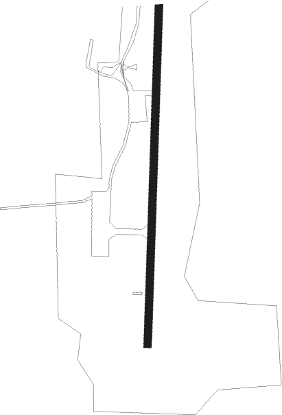
Runway info
| Runway 17 / 35 | ||
| length | 1217m (3993ft) | |
| bearing | 194° / 14° | |
| width | 23m (75ft) | |
| surface | gravel | |
| blast zone | 70m (230ft) / 91m (299ft) | |
Nearby beacons
| code | identifier | dist | bearing | frequency |
|---|---|---|---|---|
| ANV | ANVIK NDB | 0.3 | 141° | 365 |
Instrument approach procedures
| runway | airway (heading) | route (dist, bearing) |
|---|---|---|
| RW17 | OYASA (194°) | OYASA 3700ft VUPUY (3mi, 194°) 2900ft |
| RW17 | PACKI (229°) | PACKI 3700ft OYASA (5mi, 273°) 3700ft VUPUY (3mi, 194°) 2900ft |
| RW17 | TICUR (150°) | TICUR 3700ft OYASA (5mi, 93°) 3700ft VUPUY (3mi, 194°) 2900ft |
| RNAV | VUPUY 2900ft SEBEE (3mi, 194°) 2400ft PUCOY (4mi, 194°) 1140ft NOTIE (2mi, 194°) 488ft (6943mi, 111°) 709ft OYASA (6931mi, 291°) 3700ft OYASA (turn) | |
| RW35 | ROBUE (14°) | ROBUE 3700ft TOYNO (3mi, 14°) 2900ft |
| RW35 | TUDUE (50°) | TUDUE 3700ft ROBUE (5mi, 93°) 3700ft TOYNO (3mi, 14°) 2900ft |
| RW35 | UYADA (327°) | UYADA 3700ft ROBUE (5mi, 273°) 3700ft TOYNO (3mi, 14°) 2900ft |
| RNAV | TOYNO 2900ft VEYBU (3mi, 14°) 2100ft SEMKE (5mi, 14°) 494ft (6944mi, 111°) 709ft ROBUE (6955mi, 291°) 3700ft ROBUE (turn) |
Disclaimer
The information on this website is not for real aviation. Use this data with the X-Plane flight simulator only! Data taken with kind consent from X-Plane 12 source code and data files. Content is subject to change without notice.