Toksook Bay
Airport details
| Country | United States of America |
| State | Alaska |
| Region | PA |
| Municipality | Toksook Bay |
| Elevation | 59ft (18m) |
| Timezone | GMT -9 |
| Coordinates | 60.54133, -165.08719 |
| Magnetic var | |
| Type | land |
| Available since | X-Plane v10.40 |
| ICAO code | PAOO |
| IATA code | OOK |
| FAA code | OOK |
Communication
| Toksook Bay AWOS-3P | 119.275 |
| Toksook Bay CTAF | 122.900 |
| Toksook Bay ANCHORAGE CNTR | 125.200 |
Runway info
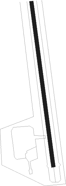
| Runway 16 / 34 | ||
| length | 982m (3222ft) | |
| bearing | 174° / 354° | |
| width | 18m (60ft) | |
| surface | gravel | |
Instrument approach procedures
| runway | airway (heading) | route (dist, bearing) |
|---|---|---|
| RW34 | NECIC (354°) | NECIC 2600ft |
| RNAV | NECIC 2600ft OBEXE (6mi, 354°) 1700ft POCPI (4mi, 354°) 558ft (7111mi, 110°) 600ft NECIC (7120mi, 290°) 2600ft NECIC (turn) |
Disclaimer
The information on this website is not for real aviation. Use this data with the X-Plane flight simulator only! Data taken with kind consent from X-Plane 12 source code and data files. Content is subject to change without notice.