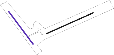
Port Heiden
Airport details
| Country | United States of America |
| State | Alaska |
| Region | PA |
| Municipality | Port Heiden |
| Elevation | 95ft (29m) |
| Timezone | GMT -9 |
| Coordinates | 56.95910, -158.63336 |
| Magnetic var | |
| Type | land |
| Available since | X-Plane v10.40 |
| ICAO code | PAPH |
| IATA code | PTH |
| FAA code | PTH |
Communication
| Port Heiden AWOS 3 | 135.400 |
| Port Heiden CTAF | 122.800 |
Nearby beacons
| code | identifier | dist | bearing | frequency |
|---|---|---|---|---|
| PDN | HEIDEN DME-ILS | 0.5 | 251° | 109.50 |
Departure and arrival routes
| Transition altitude | 18000ft |
| Transition level | 18000ft |
| SID end points | distance | outbound heading | |
|---|---|---|---|
| RW06 | |||
| ITAWU2 | 14mi | 282° | |
| RW14 | |||
| ITAWU2 | 14mi | 282° | |
| RW24 | |||
| ITAWU2 | 14mi | 282° | |
| RW32 | |||
| ITAWU2 | 14mi | 282° | |
Instrument approach procedures
| runway | airway (heading) | route (dist, bearing) |
|---|---|---|
| RW06 | BEBCU (79°) | BEBCU 2500ft |
| RW06 | LECIC (98°) | LECIC BEBCU (8mi, 146°) 2500ft |
| RW06 | RACOC (51°) | RACOC BEBCU (8mi, 327°) 2500ft |
| RNAV | BEBCU 2500ft OGEGE (6mi, 79°) 1700ft ZUBMA (4mi, 79°) 281ft (7238mi, 110°) 495ft BEBCU (7246mi, 290°) 2500ft BEBCU (turn) | |
| RW14 | ITAWU (102°) | ITAWU UPPIV (8mi, 71°) 2900ft |
| RW14 | NIRUW (182°) | NIRUW UPPIV (8mi, 251°) 2900ft |
| RW14 | UPPIV (128°) | UPPIV 2900ft |
| RNAV | UPPIV 2900ft CIGNO (6mi, 130°) 1700ft ZUDAL (4mi, 130°) 265ft (7238mi, 110°) 495ft UPPIV (7232mi, 290°) 2900ft UPPIV (turn) 2900ft |
Disclaimer
The information on this website is not for real aviation. Use this data with the X-Plane flight simulator only! Data taken with kind consent from X-Plane 12 source code and data files. Content is subject to change without notice.

