Pilot Point
Airport details
| Country | United States of America |
| State | Alaska |
| Region | PA |
| Municipality | Pilot Point |
| Elevation | 57ft (17m) |
| Timezone | GMT -9 |
| Coordinates | 57.58038, -157.57196 |
| Magnetic var | |
| Type | land |
| Available since | X-Plane v10.40 |
| ICAO code | PAPN |
| IATA code | PIP |
| FAA code | PNP |
Communication
| Pilot Point AWOS 3 | 118.375 |
| Pilot Point CTAF | 122.900 |
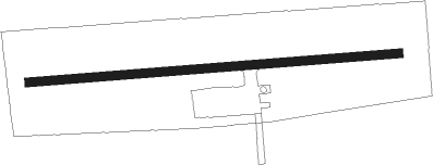
Runway info
| Runway 07 / 25 | ||
| length | 1001m (3284ft) | |
| bearing | 90° / 270° | |
| width | 23m (75ft) | |
| surface | gravel | |
Departure and arrival routes
| Transition altitude | 18000ft |
| Transition level | 18000ft |
| SID end points | distance | outbound heading | |
|---|---|---|---|
| RW07 | |||
| ZILKO1 | 12mi | 287° | |
| RW25 | |||
| ZILKO1 | 12mi | 287° | |
Instrument approach procedures
| runway | airway (heading) | route (dist, bearing) |
|---|---|---|
| RW07 | OBUKE (80°) | OBUKE FEDBO (9mi, 67°) 2000ft |
| RW07 | TANIE (121°) | TANIE ZILKO (20mi, 133°) 2500ft FEDBO (6mi, 169°) 2000ft |
| RNAV | FEDBO 2000ft FILAD (5mi, 90°) 1700ft PAPN (5mi, 90°) 76ft (7189mi, 110°) 457ft ZILKO (7188mi, 290°) 2500ft ZILKO (turn) | |
| RW25 | OBUKE (80°) | OBUKE RAPUE (29mi, 90°) 3000ft OCENO (6mi, 1°) 2000ft |
| RW25 | ZILKO (107°) | ZILKO HUBID (22mi, 92°) 2500ft OCENO (5mi, 181°) 2000ft |
| RNAV | OCENO 2000ft WOBES (6mi, 270°) 1700ft PAPN (5mi, 270°) 97ft (7189mi, 110°) 457ft ZILKO (7188mi, 290°) 2500ft ZILKO (turn) |
Disclaimer
The information on this website is not for real aviation. Use this data with the X-Plane flight simulator only! Data taken with kind consent from X-Plane 12 source code and data files. Content is subject to change without notice.