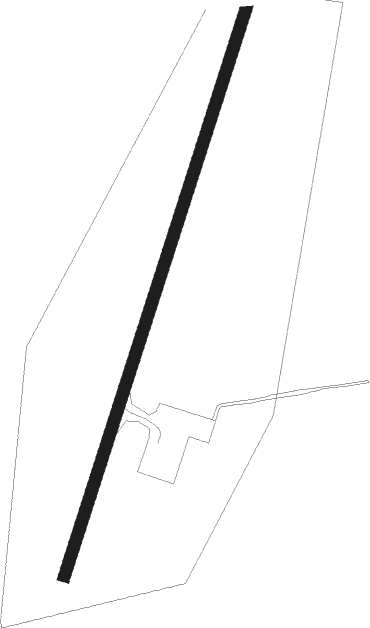
Point Hope
Airport details
| Country | United States of America |
| State | Alaska |
| Region | PA |
| Municipality | Point Hope |
| Elevation | 12ft (4m) |
| Timezone | GMT -9 |
| Coordinates | 68.34875, -166.79927 |
| Magnetic var | |
| Type | land |
| Available since | X-Plane v10.40 |
| ICAO code | PAPO |
| IATA code | PHO |
| FAA code | PHO |
Communication
| Point Hope AWOS 3 | 118.325 |
| Point Hope CTAF | 122.800 |
Nearby Points of Interest:
Ipiutak Site
Nearby beacons
| code | identifier | dist | bearing | frequency |
|---|---|---|---|---|
| PHO | POINT HOPE NDB | 0.2 | 166° | 221 |
| LUR | LISBURNE DME-ILS | 35.1 | 54° | 108.35 |
Instrument approach procedures
| runway | airway (heading) | route (dist, bearing) |
|---|---|---|
| RW01 | LUR (234°) | LUR ULAVY (42mi, 212°) 4100ft FENOM (5mi, 251°) 2800ft ZORNA (8mi, 279°) 2300ft |
| RW01 | SUGRE (288°) | SUGRE FENOM (17mi, 274°) 2800ft ZORNA (8mi, 279°) 2300ft |
| RNAV | ZORNA 2300ft EKERE (6mi, 48°) 1600ft PAPO (5mi, 48°) 59ft (6669mi, 112°) 800ft COPOX (6657mi, 292°) 3300ft COPOX (turn) | |
| RW19 | LUR (234°) | LUR COPOX (22mi, 205°) 4100ft JENSU (8mi, 271°) 2400ft |
| RW19 | SUGRE (288°) | SUGRE COPOX (27mi, 325°) 3000ft JENSU (8mi, 271°) 2400ft |
| RNAV | JENSU 2400ft BABKE (6mi, 228°) 1600ft PAPO (5mi, 228°) 58ft (6669mi, 112°) 700ft FENOM (6682mi, 292°) 2800ft FENOM (turn) |
Disclaimer
The information on this website is not for real aviation. Use this data with the X-Plane flight simulator only! Data taken with kind consent from X-Plane 12 source code and data files. Content is subject to change without notice.