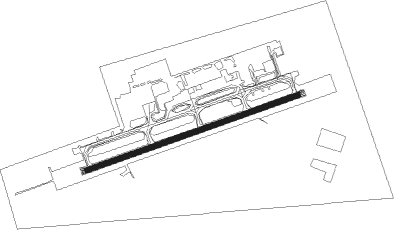
Deadhorse
Airport details
| Country | United States of America |
| State | Alaska |
| Region | PA |
| Municipality | Deadhorse |
| Elevation | 62ft (19m) |
| Timezone | GMT -9 |
| Coordinates | 70.19555, -148.46579 |
| Magnetic var | |
| Type | land |
| Available since | X-Plane v10.40 |
| ICAO code | PASC |
| IATA code | SCC |
| FAA code | SCC |
Communication
| DEADHORSE ATIS | 118.400 |
| DEADHORSE UNICOM | 123.000 |
| DEADHORSE CTAF | 123.600 |
Approach frequencies
| ILS-cat-I | RW06 | 109.3 | 18.00mi |
| 3° GS | RW06 | 109.3 | 18.00mi |
Nearby beacons
| code | identifier | dist | bearing | frequency |
|---|---|---|---|---|
| SCC | DEADHORSE VOR/DME | 1 | 86° | 113.90 |
| PVQ | PUT RIVER (DEADHORSE) NDB | 1.9 | 61° | 376 |
| PUO | PRUDHOE BAY NDB | 3.4 | 54° | 368 |
Instrument approach procedures
| runway | airway (heading) | route (dist, bearing) |
|---|---|---|
| RW06-Z | CUBSU (85°) | CUBSU 1900ft |
| RW06-Z | EXIWO (96°) | EXIWO CUBSU (8mi, 141°) 1900ft |
| RW06-Z | VUWIB (69°) | VUWIB CUBSU (8mi, 321°) 1900ft |
| RNAV | CUBSU 1900ft CIMAS (7mi, 85°) 1600ft WUKTI (2mi, 85°) 980ft PASC (3mi, 84°) 125ft (6413mi, 115°) 500ft CUBSU (6422mi, 295°) 1900ft CUBSU (turn) | |
| RW24-Z | MAJEF (265°) | MAJEF 1700ft |
| RW24-Z | QATZA (250°) | QATZA MAJEF (8mi, 143°) 1700ft |
| RW24-Z | UBYEF (277°) | UBYEF MAJEF (8mi, 323°) 1700ft |
| RNAV | MAJEF 1700ft OCOTA (7mi, 265°) 1600ft WILIG (2mi, 265°) 940ft PASC (3mi, 265°) 115ft (6413mi, 115°) 500ft MAJEF (6404mi, 295°) 1700ft MAJEF (turn) |
Disclaimer
The information on this website is not for real aviation. Use this data with the X-Plane flight simulator only! Data taken with kind consent from X-Plane 12 source code and data files. Content is subject to change without notice.