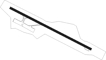
Wrangell
Airport details
| Country | United States of America |
| State | Alaska |
| Region | PA |
| Municipality | Wrangell |
| Elevation | 41ft (12m) |
| Timezone | GMT -9 |
| Coordinates | 56.48433, -132.36983 |
| Magnetic var | |
| Type | land |
| Available since | X-Plane v10.40 |
| ICAO code | PAWG |
| IATA code | WRG |
| FAA code | WRG |
Communication
| Wrangell AWOS 3 | 128.500 |
| Wrangell CTAF | 122.600 |
Approach frequencies
| LDA | RW10 | 108.5 | 18.00mi |
Nearby Points of Interest:
St. Philip's Episcopal Church
-Etolin Canoe
Nearby beacons
| code | identifier | dist | bearing | frequency |
|---|---|---|---|---|
| RGL | WRANGELL NDB | 0.6 | 278° | 206 |
| LVD | LEVEL ISLAND VOR/DME | 23.6 | 269° | 116.50 |
| SQM | SUMNER STRAIT (LEVEL I.) NDB | 24.1 | 268° | 529 |
| AKW | KLAWOCK NDB | 59.9 | 218° | 229 |
Departure and arrival routes
| Transition altitude | 18000ft |
| Transition level | 18000ft |
| SID end points | distance | outbound heading | |
|---|---|---|---|
| RW10 | |||
| LVD3 | 24mi | 269° | |
| RW28 | |||
| LVD3 | 24mi | 269° | |
Instrument approach procedures
| runway | airway (heading) | route (dist, bearing) |
|---|---|---|
| RW10 | HALKU (108°) | HALKU 4800ft |
| RW10 | LVD (89°) | LVD HALKU (13mi, 58°) 4800ft |
| RW10 | TURKS (103°) | TURKS HALKU (19mi, 98°) 4800ft |
| RNAV | HALKU 4800ft ZATSU (5mi, 108°) 4300ft WIDEB (2mi, 108°) 3780ft VEZHU (turn) 3400ft FOBAV (3mi, 109°) 2120ft HITLI (3mi, 109°) 821ft HALKU (15mi, 288°) 4800ft HALKU (turn) | |
| RWNVE | FOGID (126°) | FOGID CESEP (5mi, 110°) 4400ft |
| RWNVE | VAZPU (66°) | VAZPU CESEP (14mi, 328°) 4700ft CESEP (turn) 4400ft |
| RNAV | CESEP 4400ft JENEP (4mi, 121°) 3700ft HAXIX (3mi, 122°) 3000ft OKAYI (5mi, 157°) 640ft (6717mi, 113°) 640ft FAPUK (6724mi, 293°) SQM (16mi, 269°) 4000ft SQM (turn) |
Disclaimer
The information on this website is not for real aviation. Use this data with the X-Plane flight simulator only! Data taken with kind consent from X-Plane 12 source code and data files. Content is subject to change without notice.
