Noatak
Airport details
| Country | United States of America |
| State | Alaska |
| Region | PA |
| Municipality | Northwest Arctic |
| Elevation | 87ft (27m) |
| Timezone | GMT -9 |
| Coordinates | 67.56116, -162.98042 |
| Magnetic var | |
| Type | land |
| Available since | X-Plane v10.40 |
| ICAO code | PAWN |
| IATA code | WTK |
| FAA code | WTK |
Communication
| Noatak AWOS 3 | 135.750 |
| Noatak CTAF/UNICOM | 122.800 |
| Noatak Kotzebue FSS | 122.400 |
| Noatak Anchorage ARTCC | 119.200 |
Runway info
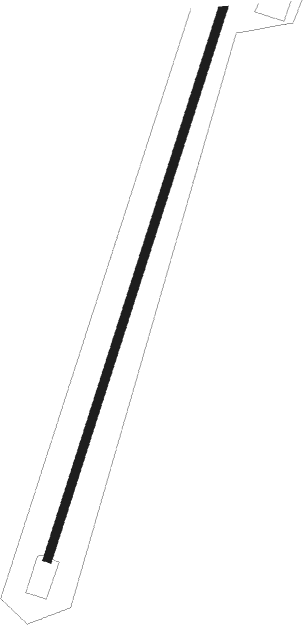
| Runway 01 / 19 | ||
| length | 1213m (3980ft) | |
| bearing | 47° / 227° | |
| width | 18m (59ft) | |
| surface | gravel | |
| blast zone | 85m (279ft) / 199m (653ft) | |
Nearby beacons
| code | identifier | dist | bearing | frequency |
|---|---|---|---|---|
| OQK | NOATAK NDB | 0.5 | 41° | 414 |
| DGG | RED DOG NDB | 28.3 | 9° | 429 |
| HHM | HOTHAM (KOTZEBUE) NDB | 40.7 | 148° | 356 |
| OTZ | KOTZEBUE VOR/DME | 41.8 | 147° | 115.70 |
Instrument approach procedures
| runway | airway (heading) | route (dist, bearing) |
|---|---|---|
| RW01 | FITSU (46°) | FITSU 6000ft FITSU (turn) 3400ft |
| RW01 | FIWWI (40°) | FIWWI FITSU (12mi, 33°) 3400ft |
| RW01 | WANLY (326°) | WANLY FITSU (18mi, 296°) 3400ft |
| RNAV | FITSU 3400ft COTAD (7mi, 46°) 1800ft PAWN (6mi, 47°) 114ft (6691mi, 113°) 1000ft FITSU (6703mi, 292°) 3400ft FITSU (turn) | |
| RW19 | HIBLA (252°) | HIBLA WEDET (7mi, 276°) 4000ft |
| RW19 | WEDET (227°) | WEDET 6000ft WEDET (turn) 4000ft |
| RNAV | WEDET 4000ft JENTO (7mi, 227°) 1800ft PAWN (6mi, 227°) 132ft (6691mi, 113°) 1700ft WEDET (6678mi, 293°) 4000ft WEDET (turn) |
Disclaimer
The information on this website is not for real aviation. Use this data with the X-Plane flight simulator only! Data taken with kind consent from X-Plane 12 source code and data files. Content is subject to change without notice.
