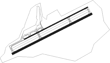
Saipan Island - Saipan Intl
Airport details
| Country | United States of America |
| State | Northern Mariana Islands |
| Region | PG |
| Municipality | Saipan Municipality |
| Elevation | 212ft (65m) |
| Timezone | GMT +10 |
| Coordinates | 15.12026, 145.72998 |
| Magnetic var | |
| Type | land |
| Available since | X-Plane v10.40 |
| ICAO code | PGSN |
| IATA code | SPN |
| FAA code | GSN |
Communication
| Saipan Intl ATIS | 127.200 |
| Saipan Intl Ground Control | 121.800 |
| Saipan Intl Tower | 125.700 |
Approach frequencies
| ILS-cat-I | RW07 | 109.9 | 18.00mi |
| 3° GS | RW07 | 109.9 | 18.00mi |
Nearby beacons
| code | identifier | dist | bearing | frequency |
|---|---|---|---|---|
| SN | SAIPAN (SAIPAN I/MARIANA I) NDB | 1.2 | 246° | 312 |
| GRO | ROTA NDB | 63.6 | 207° | 332 |
Instrument approach procedures
| runway | airway (heading) | route (dist, bearing) |
|---|---|---|
| RW07 | KATQO (11°) | KATQO PONOI (26mi, 337°) 2600ft |
| RW07 | LULJY (54°) | LULJY PONOI (16mi, 39°) 2600ft |
| RW07 | SN (66°) | SN PONOI (15mi, 248°) 2600ft PONOI (turn) 2600ft |
| RNAV | PONOI 2600ft KORDY (10mi, 68°) 2100ft JIDSU (4mi, 68°) 660ft PGSN (2mi, 67°) 265ft (8583mi, 264°) 520ft AGODY (8593mi, 84°) 2600ft AGODY (turn) | |
| RW25 | ANEVY (240°) | ANEVY UKUGY (19mi, 235°) 2600ft AGODY (5mi, 235°) 2600ft |
| RW25 | KATQO (11°) | KATQO YEYNU (32mi, 49°) 3000ft AGODY (15mi, 337°) 2600ft |
| RW25 | LULJY (54°) | LULJY AGODY (45mi, 58°) 3000ft AGODY (turn) 2600ft |
| RNAV | AGODY 2600ft FIHVY (7mi, 248°) 1900ft ZILUK (3mi, 248°) 840ft PGSN (2mi, 250°) 270ft (8583mi, 264°) 600ft PONOI (8571mi, 84°) 2600ft PONOI (turn) |
Disclaimer
The information on this website is not for real aviation. Use this data with the X-Plane flight simulator only! Data taken with kind consent from X-Plane 12 source code and data files. Content is subject to change without notice.

