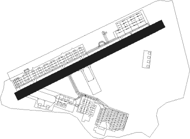
Wahiawa - Wheeler Aaf
Airport details
| Country | United States of America |
| State | Hawaii |
| Region | PH |
| Airspace | Honolulu Control Facility Ctr |
| Municipality | Mililani |
| Elevation | 842ft (257m) |
| Timezone | GMT -10 |
| Coordinates | 21.48145, -158.03784 |
| Magnetic var | |
| Type | land |
| Available since | X-Plane v10.40 |
| ICAO code | PHHI |
| IATA code | HHI |
| FAA code | HHI |
Communication
| Wheeler AAF ATIS | 119.675 |
| Wheeler AAF CTAF | 126.300 |
| Wheeler AAF Ground Control | 121.850 |
| Wheeler AAF VFR ADVSY SVC | 118.300 |
| Wheeler AAF VFR ADVSY SVC | 120.900 |
| Wheeler AAF Tower | 126.300 |
| Wheeler AAF HONOLULU Approach | 118.300 |
| Wheeler AAF HONOLULU Approach | 119.100 |
| Wheeler AAF Departure | 118.300 |
| Wheeler AAF Departure | 119.100 |
| Wheeler AAF Departure | 124.800 |
Nearby Points of Interest:
Kukaniloko Birth Site
-Honouliuli Internment Camp
-Koʻolau Range
-USS Arizona Memorial
-Naval Station Pearl Harbor
-Molii Fishpond
-Kahaluu Fish Pond
-Kahaluu Taro Lo'i
-Palm Circle
-Opana Radar Site
-Kaumakapili Church
-Georges de S. Canavarro House
-Thomas Alexander Burningham House
-C. Brewer Building
-Joseph W. Podmore Building
-H. Alexander Walker Residence
-Kamehameha V Post Office
-Kapuāiwa Building
-Merchant Street Historic District
-YWCA Building
-Lihiwai
-Clarence H. Cooke House
-Edgar and Lucy Henriques House
-James L. Coke House
-Kakaako Pumping Station
Nearby beacons
| code | identifier | dist | bearing | frequency |
|---|---|---|---|---|
| HN | EWABE (HONOLULU) NDB | 9.4 | 184° | 242 |
| HNL | HONOLULU VORTAC | 12 | 148° | 114.80 |
| NGF | KANEOHE BAY (MOKAPU) TACAN | 15.7 | 95° | 114.60 |
| NGF | KANEOHE BAY (MOKAPU) NDB | 15.9 | 96° | 265 |
| CKH | KOKO HEAD VORTAC | 22.7 | 123° | 113.90 |
| MKK | MOLOKAI (KAUNAKAKAI) VORTAC | 52.8 | 112° | 116.10 |
Departure and arrival routes
| Transition altitude | 18000ft |
| Transition level | 18000ft |
| SID end points | distance | outbound heading | |
|---|---|---|---|
| RW06 | |||
| KOKOH1 | 53mi | 112° | |
| GECKO1 | 23mi | 223° | |
Instrument approach procedures
| runway | airway (heading) | route (dist, bearing) |
|---|---|---|
| RWNVC | ALANA (346°) | ALANA FFLRS (14mi, 334°) 4500ft |
| RWNVC | OORRR (323°) | OORRR FFLRS (9mi, 272°) 4500ft |
| RWNVC | SHIGI (37°) | SHIGI FFLRS (7mi, 96°) 4500ft |
| RNAV | FFLRS 4500ft COPTA (6mi, 3°) 3000ft MARKK (5mi, 3°) 2280ft HNL (12mi, 148°) ALANA (14mi, 182°) 6000ft ALANA (turn) |
Disclaimer
The information on this website is not for real aviation. Use this data with the X-Plane flight simulator only! Data taken with kind consent from X-Plane 12 source code and data files. Content is subject to change without notice.