Hayfork - Hyampom
Airport details
| Country | United States of America |
| State | California |
| Region | |
| Airspace | Oakland Ctr |
| Municipality | Trinity County |
| Elevation | 1250ft (381m) |
| Timezone | GMT -8 |
| Coordinates | 40.62929, -123.47100 |
| Magnetic var | |
| Type | land |
| Available since | X-Plane v11.50 |
| ICAO code | Q75 |
| IATA code | n/a |
| FAA code | n/a |
Communication
| Hyampom CTAF | 122.800 |
Nearby Points of Interest:
Old Jacoby Creek School
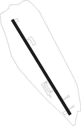
Runway info
| Runway 14 / 32 | ||
| length | 919m (3015ft) | |
| bearing | 146° / 326° | |
| width | 24m (80ft) | |
| surface | asphalt | |
| displ threshold | 0m (0ft) / 221m (725ft) | |
Nearby beacons
| code | identifier | dist | bearing | frequency |
|---|---|---|---|---|
| FOT | FORTUNA VORTAC | 34.8 | 273° | 114 |
| ACV | ARCATA VOR/DME | 35.8 | 299° | 115.05 |
| FJS | FORT JONES VOR/DME | 57.7 | 39° | 109.60 |
Disclaimer
The information on this website is not for real aviation. Use this data with the X-Plane flight simulator only! Data taken with kind consent from X-Plane 12 source code and data files. Content is subject to change without notice.