Taitung City - Taitung Fongnian
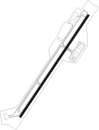
Airport details
| Country | Taiwan |
| State | Taitung County |
| Region | RC |
| Airspace | Taipei Ctr |
| Municipality | Taitung City |
| Elevation | 143ft (44m) |
| Timezone | GMT +8 |
| Coordinates | 22.75528, 121.10028 |
| Magnetic var | |
| Type | land |
| Available since | X-Plane v10.40 |
| ICAO code | RCFN |
| IATA code | TTT |
| FAA code | n/a |
Communication
| Taitung Fongnian Taitung Fongnian ATIS | 127.000 |
| Taitung Fongnian Taitung Fongnian Tower | 236.600 |
| Taitung Fongnian Taitung Fongnian Tower | 118.100 |
| Taitung Fongnian KAOHSIUNG Approach | 119.400 |
| Taitung Fongnian KAOHSIUNG Approach | 123.100 |
Approach frequencies
| LDA | RW04 | 110.9 | 18.00mi |
Nearby Points of Interest:
Taitung Tianhou Temple
-Meinong East Gate Tower
-Taiwan Retrocession Monument, Pingtung
-Old House of Siiao Family
Nearby beacons
| code | identifier | dist | bearing | frequency |
|---|---|---|---|---|
| MFNN | (TAITUNG) DME-ILS | 0.4 | 253° | 110.90 |
| JB | JHIHBEN (TAITUNG) NDB | 2.7 | 187° | 325 |
| JBT | (TAITUNG) DME | 2.7 | 187° | 108.20 |
| ZN | TAITUNG NDB | 3.2 | 85° | 430 |
| TTG | TAITUNG TACAN | 5.5 | 60° | 113.80 |
| GI | LUDAO (TAITUNG) NDB | 21.7 | 102° | 300 |
| GID | LUDAO VOR/DME | 21.9 | 102° | 116.90 |
| PIT | PINGTUNG TACAN | 35.8 | 262° | 109.60 |
| DC | PINGTUNG NDB | 37.6 | 263° | 215 |
| SK | KAOHSIUNG INTL NDB | 44.1 | 257° | 330 |
| LY | LANYU NDB | 46.6 | 149° | 350 |
| LYU | DME-ILS | 46.6 | 149° | 108.90 |
| AY | KANGSHAN NDB | 46.8 | 277° | 265 |
| MR | KUEIJEN NDB | 46.8 | 285° | 312 |
| KT | HENGCHUN NDB | 47.4 | 207° | 425 |
| KTG | DME | 47.4 | 207° | 112.70 |
| KW | HENGCHUN NDB | 51.5 | 198° | 415 |
| HCN | HENGCHUN VOR/DME | 51.7 | 197° | 113.70 |
| NN | SIGANG (TAINAN) NDB | 54.3 | 292° | 375 |
| TNN | SIGANG (TAINAN) VOR/DME | 54.4 | 293° | 113.30 |
| KU | CHIAYI NDB | 63.4 | 319° | 525 |
Departure and arrival routes
| Transition altitude | 11000ft |
| Transition level | 13000ft |
| SID end points | distance | outbound heading | |
|---|---|---|---|
| RW04 | |||
| DONA1A | 39mi | 53° | |
| TACL1A | 31mi | 64° | |
| HYPE1C, HYPE2A | 12mi | 100° | |
| GAMA1A | 14mi | 157° | |
| RW22 | |||
| DONA1B | 39mi | 53° | |
| TACL1B | 31mi | 64° | |
| HYPE1B | 12mi | 100° | |
| GAMA2B | 14mi | 157° | |
Instrument approach procedures
| runway | airway (heading) | route (dist, bearing) |
|---|---|---|
| RWNVF | GID (282°) | GID 5000ft DRACO (19mi, 250°) 3000ft |
| RNAV | DRACO 3000ft METAL (5mi, 321°) 2100ft JB (5mi, 350°) 2060ft GID (22mi, 95°) 3000ft GID (turn) 3000ft |
Disclaimer
The information on this website is not for real aviation. Use this data with the X-Plane flight simulator only! Data taken with kind consent from X-Plane 12 source code and data files. Content is subject to change without notice.