Pratas Island - Dongsha
Airport details
| Country | Taiwan |
| State | Cijin District |
| Region | |
| Airspace | Hong Kong Ctr |
| Municipality | Kaohsiung |
| Elevation | 8ft (2m) |
| Timezone | GMT +8 |
| Coordinates | 20.70640, 116.72120 |
| Magnetic var | |
| Type | land |
| ICAO code | RCLM |
| IATA code | DSX |
| FAA code | n/a |
Communication
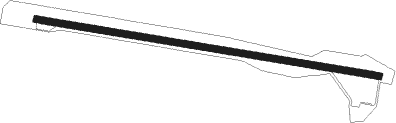
Runway info
| Runway 10 / 28 | ||
| length | 1498m (4915ft) | |
| bearing | 103° / 283° | |
| width | 30m (100ft) | |
| surface | concrete | |
| blast zone | 148m (486ft) / 51m (167ft) | |
Disclaimer
The information on this website is not for real aviation. Use this data with the X-Plane flight simulator only! Data taken with kind consent from X-Plane 12 source code and data files. Content is subject to change without notice.