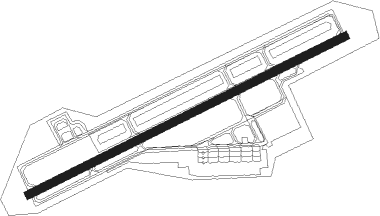
Iwo Jima
Airport details
| Country | Japan |
| State | Tōkyō Prefecture |
| Region | RJ |
| Airspace | Fukuoka Ctr |
| Municipality | Tokyo |
| Elevation | 388ft (118m) |
| Timezone | GMT +9 |
| Coordinates | 24.78417, 141.32278 |
| Magnetic var | |
| Type | land |
| Available since | X-Plane v10.40 |
| ICAO code | RJAW |
| IATA code | IWO |
| FAA code | n/a |
Communication
| Iwo Jima Tower | 126.200 |
Nearby beacons
| code | identifier | dist | bearing | frequency |
|---|---|---|---|---|
| IJT | IWOTO TACAN | 0.3 | 275° | 109.80 |
| OX | IWOTO NDB | 1 | 233° | 360 |
Departure and arrival routes
| Transition altitude | 14000ft |
| Transition level | 14000ft |
| SID end points | distance | outbound heading | |
|---|---|---|---|
| RW07 | |||
| CHD2 | 81mi | 330° | |
| RW25 | |||
| CHD2 | 81mi | 330° | |
| STAR starting points | distance | inbound heading | |
|---|---|---|---|
| RW07 | |||
| CHD | 15.2 | 149° | |
| RW25 | |||
| CHD | 15.2 | 149° | |
Disclaimer
The information on this website is not for real aviation. Use this data with the X-Plane flight simulator only! Data taken with kind consent from X-Plane 12 source code and data files. Content is subject to change without notice.