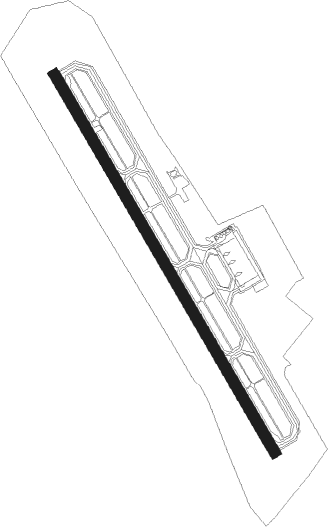
Asahikawa / Hokkaidō - Asahikawa
Airport details
| Country | Japan |
| State | Hokkaidō Prefecture |
| Region | RJ |
| Airspace | Fukuoka Ctr |
| Municipality | Higashikagura |
| Elevation | 688ft (210m) |
| Timezone | GMT +9 |
| Coordinates | 43.67083, 142.44749 |
| Magnetic var | |
| Type | land |
| Available since | X-Plane v10.32 |
| ICAO code | RJEC |
| IATA code | AKJ |
| FAA code | n/a |
Communication
| Asahikawa DAISETSU Tower | 118.550 |
| Asahikawa DAISETSU Tower | 126.200 |
| Asahikawa Sapporo Control (Approach) | 132.600 |
| Asahikawa Sapporo Control (Departure) | 134.250 |
Approach frequencies
| ILS-cat-I | RW34 | 110.5 | 18.00mi |
| 3° GS | RW34 | 110.5 | 18.00mi |
Nearby Points of Interest:
Foreign Tree Specimen Forest
Nearby beacons
| code | identifier | dist | bearing | frequency |
|---|---|---|---|---|
| AWE | ASAHIKAWA VOR/DME | 0.4 | 111° | 113.50 |
| OH | TOKACHI NDB | 55.7 | 137° | 239 |
| MVE | MONBETSU VOR/DME | 55.9 | 56° | 112.90 |
| TKT | TOKACHI TACAN | 56.2 | 137° | 111.80 |
| ZYT | CHITOSE (SAPPORO) TACAN | 64.1 | 220° | 109.20 |
| OBE | OBIHIRO VOR/DME | 65.6 | 140° | 109.65 |
| CHE | CHITOSE VOR/DME | 67.1 | 218° | 116.90 |
Departure and arrival routes
| Transition altitude | 14000ft |
| Transition level | 14000ft |
| STAR starting points | distance | inbound heading | |
|---|---|---|---|
| RW16 | |||
| OSOBA | 15.0 | 37° | |
Instrument approach procedures
| runway | airway (heading) | route (dist, bearing) |
|---|---|---|
| RW16-Y | ASIBE (37°) | ASIBE 8000ft EC650 (8mi, 39°) 5000ft |
| RNAV | EC650 5000ft GORYO (4mi, 337°) 4000ft EC651 (2mi, 337°) 3249ft EC652 (3mi, 30°) 2368ft EC653 (turn) 2176ft EC654 (3mi, 104°) 1200ft RJEC (2mi, 146°) 710ft EC660 (7mi, 146°) AWE (6mi, 329°) 5000ft AWE (turn) 5000ft | |
| RW16-Z | OSOBA (135°) | OSOBA 6000ft PIPPU (7mi, 87°) 4000ft |
| RNAV | PIPPU 4000ft YONKA (5mi, 175°) 3000ft TYUBE (4mi, 175°) 1700ft RJEC (4mi, 146°) 710ft EC660 (7mi, 146°) AWE (6mi, 329°) 5000ft AWE (turn) 5000ft |
Holding patterns
| STAR name | hold at | type | turn | heading* | altitude | leg | speed limit |
|---|---|---|---|---|---|---|---|
| OSOBA | ASIBE | VHF | left | 220 (40)° | > 8000ft | DME 6.0mi | 230 |
| *) magnetic outbound (inbound) holding course | |||||||
Disclaimer
The information on this website is not for real aviation. Use this data with the X-Plane flight simulator only! Data taken with kind consent from X-Plane 12 source code and data files. Content is subject to change without notice.