Kitakyūshū - New Kitakyushu
Airport details
| Country | Japan |
| State | Fukuoka Prefecture |
| Region | RJ |
| Airspace | Fukuoka Ctr |
| Municipality | Kitakyushu |
| Elevation | 20ft (6m) |
| Timezone | GMT +9 |
| Coordinates | 33.83668, 131.03450 |
| Magnetic var | |
| Type | land |
| Available since | X-Plane v10.40 |
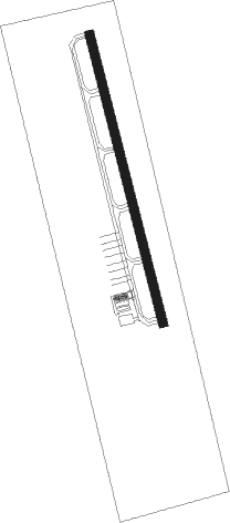
| ICAO code | RJFR |
| IATA code | KKJ |
| FAA code | n/a |
Communication
Approach frequencies
| ILS-cat-I | RW18 | 109.15 | 18.00mi |
| 3° GS | RW18 | 109.15 | 18.00mi |
Nearby Points of Interest:
Former Moji Mitsui Club
-Kanmon Straits
-Shimonoseki Nabechō Post Office
-Kōzan-ji
-Sumiyoshi Jinja
-Kawachi Dam
-Usa Jingū
-Akiyoshidai
-Yamaguchi Prefectural Government Museum
-Kashii-gū
-Ōno Castle
-Dazaifu Gakkōin
-Dazaifu
-Mizuki
-Hakozaki Shrine
Nearby beacons
| code | identifier | dist | bearing | frequency |
|---|---|---|---|---|
| SWE | SUOH (KITAKYUSHU) VOR/DME | 1.2 | 346° | 113.85 |
| TQT | TSUIKI TACAN | 8.9 | 179° | 110.40 |
| OCT | OZUKI (SHIMONOSEKI) TACAN | 12.4 | 4° | 112.15 |
| UBE | UBE (YAMAGUCHI) VOR/DME | 13.7 | 68° | 110.80 |
| AHT | ASHIYA TACAN | 19.4 | 278° | 108.60 |
| FMT | HOFU TACAN | 28.2 | 68° | 113 |
| DGC | FUKUOKA VORTAC | 33.6 | 256° | 114.50 |
| TFE | MUSASHI (OITA) VOR/DME | 40.4 | 117° | 117.70 |
| SGE | SAGA VOR/DME | 55.5 | 227° | 114.75 |
| MIT | MISHIMA TACAN | 56.3 | 6° | 110.60 |
| IME | IWAMI VOR/DME | 62.5 | 42° | 115.05 |
Departure and arrival routes
| Transition altitude | 14000ft |
| Transition level | 14000ft |
| SID end points | distance | outbound heading | |
|---|---|---|---|
| RW18 | |||
| KOHEI1 | 102mi | 85° | |
| ASARI3 | 40mi | 117° | |
| ONGHA2 | 13mi | 259° | |
| RW36 | |||
| KOHEI1 | 102mi | 85° | |
| ASARI3 | 40mi | 117° | |
| ONGHA2 | 13mi | 259° | |
Disclaimer
The information on this website is not for real aviation. Use this data with the X-Plane flight simulator only! Data taken with kind consent from X-Plane 12 source code and data files. Content is subject to change without notice.