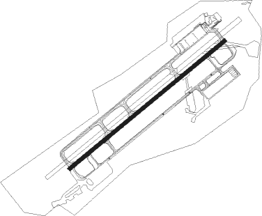
Kanazawa - Komatsu
Airport details
| Country | Japan |
| State | Ishikawa Prefecture |
| Region | RJ |
| Airspace | Fukuoka Ctr |
| Municipality | Komatsu |
| Elevation | 20ft (6m) |
| Timezone | GMT +9 |
| Coordinates | 36.39389, 136.40750 |
| Magnetic var | |
| Type | land |
| Available since | X-Plane v10.40 |
| ICAO code | RJNK |
| IATA code | KMQ |
| FAA code | n/a |
Communication
| Komatsu Ground Control | 121.700 |
| Komatsu Tower | 118.250 |
| Komatsu TCA | 127.950 |
| Komatsu Approach | 121.250 |
| Komatsu Departure | 120.100 |
Approach frequencies
| ILS-cat-I | RW06 | 110.1 | 18.00mi |
| 3° GS | RW06 | 110.1 | 18.00mi |
Nearby Points of Interest:
Kanazawa Municipal Tamagawa Library
-Tatsumi Canal
-Asanogawa Ōhashi Bridge
-Tomyo-ji Nawate: The Site of Yoshisada Nitta's Death
-Iwase-ke
-Suganuma
-Shirakawa-gō
-Ainokura
-Historic Villages of Shirakawa-gō and Gokayama
Nearby beacons
| code | identifier | dist | bearing | frequency |
|---|---|---|---|---|
| KMC | KOMATSU VORTAC | 0.2 | 308° | 112 |
| TOE | TOYAMA VOR/DME | 40.8 | 72° | 110.85 |
| NTE | NOTO VOR/DME | 60 | 32° | 111.45 |
Departure and arrival routes
| Transition altitude | 14000ft |
| Transition level | 14000ft |
| SID end points | distance | outbound heading | |
|---|---|---|---|
| RW06 | |||
| NTE2 | 60mi | 32° | |
| GINJO2 | 139mi | 50° | |
| MANAH2 | 72mi | 156° | |
| YME4 | 83mi | 234° | |
| KAGA4 | 96mi | 256° | |
| SONBU2 | 42mi | 256° | |
| RW24 | |||
| NTE2 | 60mi | 32° | |
| GINJO2 | 139mi | 50° | |
| MANAH2 | 72mi | 156° | |
| YME4 | 83mi | 234° | |
| KAGA4 | 96mi | 256° | |
| SONBU2 | 42mi | 256° | |
| STAR starting points | distance | inbound heading | |
|---|---|---|---|
| RW06 | |||
| SONBUW | 41.6 | 76° | |
| HIMMYW | 35.0 | 229° | |
| IMIZUW | 34.9 | 239° | |
| YARIIW | 39.7 | 279° | |
| RW24 | |||
| SONBUE | 41.6 | 76° | |
| HIMMYE | 35.0 | 229° | |
| IMIZUE | 34.9 | 239° | |
| YARIIE | 39.7 | 279° | |
Instrument approach procedures
| runway | airway (heading) | route (dist, bearing) |
|---|---|---|
| RW24 | HIMRO (218°) | HIMRO 2600ft GOSIK (6mi, 163°) 2600ft |
| RW24 | KINKA (245°) | KINKA 5000ft GOSIK (6mi, 253°) 2600ft |
| RNAV | GOSIK 2600ft NK451 (2mi, 241°) 2100ft NEJYO (3mi, 241°) 1700ft NK452 (2mi, 241°) 1023ft RJNK (4mi, 241°) 68ft (7547mi, 255°) 530ft GOZEN (7538mi, 75°) 3000ft GOZEN (turn) 3000ft |
Disclaimer
The information on this website is not for real aviation. Use this data with the X-Plane flight simulator only! Data taken with kind consent from X-Plane 12 source code and data files. Content is subject to change without notice.
