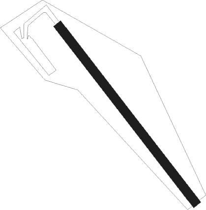
Kanbara - Miho
Airport details
| Country | Japan |
| State | [Other] |
| Region | |
| Airspace | Fukuoka Ctr |
| Municipality | Shizuoka |
| Elevation | 6ft (2m) |
| Timezone | GMT +9 |
| Coordinates | 35.01587, 138.52908 |
| Magnetic var | |
| Type | land |
| Available since | X-Plane v10.40 |
| ICAO code | RJT2 |
| IATA code | n/a |
| FAA code | n/a |
Communication
Nearby Points of Interest:
Shimizu Minato Station
-Nihondaira
-Old Emberson House
-Wakutamaike
-Sengo ruins
-Numazu Imperial Villa Memorial Park
-Kakita River
-Nomanji no Sotetsu
-Nirayama Daikansho
-Fujisan, sacred place and source of artistic inspiration
-Yagisawa no Ohatsuki Icho
-Fukara Irrigation Canal
-Mount Higane
-Jukkoku Pass
-Azusawakejinja-no-Okusu
-Moto-Hakone Stone Buddhas
-Aokigahara
-Narusawa Lava Tree Molds
-Shoji-no-Osugi
-Fuji Five Lakes
-Yamagami no Jusō
-Pure Forest of Harimomi
-Hakone Tozan Line
Runway info
| Runway 15 / 33 | ||
| length | 506m (1660ft) | |
| bearing | 141° / 321° | |
| width | 20m (66ft) | |
| surface | asphalt | |
Nearby beacons
| code | identifier | dist | bearing | frequency |
|---|---|---|---|---|
| YZT | SHIZUHAMA (YAIZU) TACAN | 16.6 | 229° | 109.20 |
| SZE | SHIZUOKA VOR/DME | 21.1 | 237° | 110.65 |
| OSE | MIHARA (OSHIMA) VOR/DME | 43.3 | 105° | 109.85 |
| LHT | HAMAMATSU TACAN | 43.4 | 252° | 114.70 |
| WWT | HAMAMATSU TACAN | 43.5 | 252° | 135.90 |
| XAC | OSHIMA VORTAC | 47.2 | 109° | 113.10 |
| NJA | ATSUGI TACAN | 52.1 | 65° | 115.10 |
| NJT | NIIJIMA TACAN | 54.3 | 132° | 116.50 |
| YOK | YOKOTA (TOKYO) TACAN | 59.6 | 48° | 113.80 |
| TN | SHIN-TACHIKAWA NDB | 59.9 | 51° | 366 |
| TNT | TACHIKAWA TACAN | 59.9 | 51° | 115.80 |
| YLT | IRUMA TACAN | 65.7 | 47° | 110.60 |
Disclaimer
The information on this website is not for real aviation. Use this data with the X-Plane flight simulator only! Data taken with kind consent from X-Plane 12 source code and data files. Content is subject to change without notice.
