Miyakejima
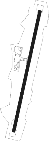
Airport details
| Country | Japan |
| State | Tōkyō Prefecture |
| Region | RJ |
| Airspace | Fukuoka Ctr |
| Municipality | Tokyo |
| Elevation | 65ft (20m) |
| Timezone | GMT +9 |
| Coordinates | 34.07361, 139.56027 |
| Magnetic var | |
| Type | land |
| Available since | X-Plane v10.40 |
| ICAO code | RJTQ |
| IATA code | MYE |
| FAA code | n/a |
Communication
| Miyakejima Miyake Remote | 118.050 |
Nearby beacons
| code | identifier | dist | bearing | frequency |
|---|---|---|---|---|
| MOE | OYAMA VOR/DME | 0.1 | 158° | 108.65 |
| NJT | NIIJIMA TACAN | 21.8 | 314° | 116.50 |
| XAC | OSHIMA VORTAC | 39 | 347° | 113.10 |
| OSE | MIHARA (OSHIMA) VOR/DME | 43.9 | 345° | 109.85 |
| PQD | DME | 54.9 | 21° | 112.50 |
| TET | TATEYAMA TACAN | 55.6 | 17° | 108.80 |
| HCE | HACHIJO JIMA VOR/DME | 58.7 | 167° | 116.65 |
Departure and arrival routes
| Transition altitude | 14000ft |
| Transition level | 14000ft |
| SID end points | distance | outbound heading | |
|---|---|---|---|
| RW02 | |||
| SCOTT1 | 20mi | 21° | |
| RW20 | |||
| SCOTT1 | 20mi | 21° | |
Disclaimer
The information on this website is not for real aviation. Use this data with the X-Plane flight simulator only! Data taken with kind consent from X-Plane 12 source code and data files. Content is subject to change without notice.