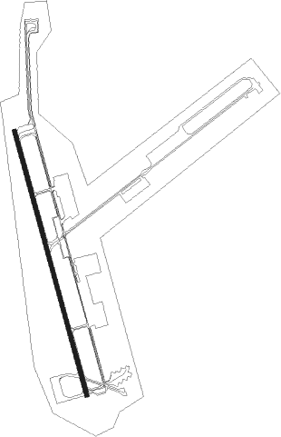
Kunsan - Gunsan Ab
Airport details
| Country | South Korea |
| State | Jeolabuk-do |
| Region | RK |
| Airspace | Incheon Ctr |
| Municipality | Gunsan-si |
| Elevation | 27ft (8m) |
| Timezone | GMT +9 |
| Coordinates | 35.90389, 126.61584 |
| Magnetic var | |
| Type | land |
| Available since | X-Plane v10.40 |
| ICAO code | RKJK |
| IATA code | KUV |
| FAA code | n/a |
Communication
| Gunsan AB ATIS | 120.225 |
| Gunsan AB Clearance DEL | 133.750 |
| Gunsan AB Ground Control | 123.500 |
| Gunsan AB Tower | 126.500 |
| Gunsan AB Approach | 124.100 |
| Gunsan AB Departure | 124.100 |
Approach frequencies
| ILS-cat-I | RW36 | 110.3 | 18.00mi |
| ILS-cat-I | RW18 | 110.3 | 18.00mi |
| 3° GS | RW36 | 110.3 | 18.00mi |
| 3° GS | RW18 | 110.3 | 18.00mi |
Nearby Points of Interest:
Impi Station
-Gimje Dongheon
Nearby beacons
| code | identifier | dist | bearing | frequency |
|---|---|---|---|---|
| KUZ | KUNSAN VORTAC | 0.4 | 325° | 112.80 |
| KWA | GWANGJU VOR/DME | 47.6 | 166° | 114.40 |
| KWJ | GWANGJU TACAN | 47.9 | 167° | 114.10 |
| SAN | SEOSAN TACAN | 48.7 | 351° | 111.50 |
| MUN | MUAN VOR/DME | 56.7 | 194° | 111 |
| CHJ | CHEONGJU TACAN | 64.4 | 47° | 110.50 |
| CHO | CHEONGJU VOR/DME | 64.7 | 47° | 109 |
Departure and arrival routes
| Transition altitude | 14000ft |
| Transition level | 14000ft |
| SID end points | distance | outbound heading | |
|---|---|---|---|
| RW18 | |||
| ENTEL2 | 33mi | 35° | |
| LINTA2 | 26mi | 148° | |
| RW36 | |||
| ENTEL2 | 33mi | 35° | |
| LINTA2 | 26mi | 148° | |
Instrument approach procedures
| runway | airway (heading) | route (dist, bearing) |
|---|---|---|
| RW18 | JEWEL (167°) | JEWEL 4000ft UPMAN (5mi, 167°) 3000ft |
| RNAV | UPMAN 3000ft LUKKI (10mi, 167°) 1600ft RKJK (6mi, 167°) 68ft (7140mi, 254°) 430ft JEWEL (7129mi, 74°) 4000ft JEWEL (turn) | |
| RW36 | WAROB (295°) | WAROB 4000ft HEDOD (10mi, 248°) 3000ft |
| RNAV | HEDOD 3000ft CIKRA (8mi, 329°) 2000ft ZUDUX (6mi, 329°) 224ft (7141mi, 254°) 600ft JEWEL (7129mi, 74°) 4000ft JEWEL (turn) 14000ft |
Disclaimer
The information on this website is not for real aviation. Use this data with the X-Plane flight simulator only! Data taken with kind consent from X-Plane 12 source code and data files. Content is subject to change without notice.
