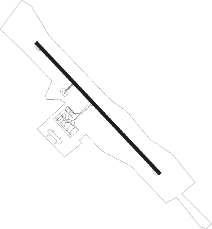
Sokcho / Gangneung - Yangyang Intl
Airport details
| Country | South Korea |
| State | Gangweondo |
| Region | RK |
| Airspace | Incheon Ctr |
| Municipality | Yangyang-gun |
| Elevation | 240ft (73m) |
| Timezone | GMT +9 |
| Coordinates | 38.06139, 128.66917 |
| Magnetic var | |
| Type | land |
| Available since | X-Plane v10.40 |
| ICAO code | RKNY |
| IATA code | YNY |
| FAA code | n/a |
Communication
| Yangyang Intl ATIS | 128.825 |
| Yangyang Intl Ground Control | 124.300 |
| Yangyang Intl Yangyang Tower | 118.850 |
| Yangyang Intl Yangyang Tower | 124.375 |
| Yangyang Intl GANGNEUNG Approach | 124.600 |
| Yangyang Intl GANGNEUNG Departure | 124.600 |
Approach frequencies
| ILS-cat-I | RW33 | 109.3 | 18.00mi |
| 3° GS | RW33 | 109.3 | 18.00mi |
Nearby Points of Interest:
Seven-story Stone Pagoda of Naksansa Temple
-Towangseong Falls
-Gongnyong Ridge in Seoraksan Mountain
Nearby beacons
| code | identifier | dist | bearing | frequency |
|---|---|---|---|---|
| YAG | YANGYANG VOR/DME | 0.3 | 284° | 110.60 |
| SK | SOKCHO NDB | 5.6 | 316° | 378 |
| SCH | SOKCHO VOR/DME | 6.1 | 322° | 111 |
| KAE | GANGWON VORTAC | 22 | 167° | 115.60 |
| KAN | KANGNUNG TACAN | 22.5 | 137° | 111.90 |
| LC | KANGNUNG NDB | 22.9 | 138° | 257 |
| CJ | CHUCHON NDB | 45.9 | 260° | 360 |
| HGS | WONJU VOR/DME | 48.1 | 230° | 110.20 |
| WNJ | WONJU TACAN | 50.5 | 228° | 111.60 |
Departure and arrival routes
| Transition altitude | 14000ft |
| SID end points | distance | outbound heading | |
|---|---|---|---|
| RW15 | |||
| PILI2E | 48mi | 135° | |
| YAG2T, YAG2S, KAE2E | 22mi | 167° | |
| BIKS2E | 24mi | 192° | |
| RW33 | |||
| PILI2N | 48mi | 135° | |
| KAE2N, YAG2A | 22mi | 167° | |
| BIKS2N | 24mi | 192° | |
| STAR starting points | distance | inbound heading | |
|---|---|---|---|
| RW33 | |||
| BIKS2H | 23.5 | 12° | |
| KAE2H | 22.0 | 347° | |
Instrument approach procedures
| runway | airway (heading) | route (dist, bearing) |
|---|---|---|
| RW33 | DUBUN (263°) | DUBUN 6000ft NY015 (7mi, 169°) 5000ft NY010 (5mi, 237°) 3300ft |
| RNAV | NY010 3300ft NY004 (6mi, 314°) 1700ft NY003 (1mi, 314°) 1200ft RKNY (4mi, 314°) 277ft (7175mi, 254°) 900ft DUBUN (7183mi, 74°) 6000ft DUBUN (turn) 7000ft |
Holding patterns
| STAR name | hold at | type | turn | heading* | altitude | leg | speed limit |
|---|---|---|---|---|---|---|---|
| BIKS2H | DUBUN | VHF | left | 270 (90)° | 6000ft - 6000ft | 1.0min timed | 200 |
| KAE2H | DUBUN | VHF | left | 270 (90)° | 6000ft - 6000ft | 1.0min timed | 200 |
| *) magnetic outbound (inbound) holding course | |||||||
Disclaimer
The information on this website is not for real aviation. Use this data with the X-Plane flight simulator only! Data taken with kind consent from X-Plane 12 source code and data files. Content is subject to change without notice.