Suwon/gyeonggi-do - Suwon
Airport details
| Country | South Korea |
| State | Gyeonggido |
| Region | RK |
| Airspace | Incheon Ctr |
| Municipality | Suwon-si |
| Elevation | 86ft (26m) |
| Timezone | GMT +9 |
| Coordinates | 37.23986, 127.00667 |
| Magnetic var | |
| Type | land |
| Available since | X-Plane v10.40 |
| ICAO code | RKSW |
| IATA code | SWU |
| FAA code | n/a |
Communication
| Suwon ATIS | 126.425 |
| Suwon Tower | 126.200 |
| Suwon OSAN Approach/Departure | 127.900 |
Nearby Points of Interest:
Hwaseong Fortress
-Former Belgium consulate in Seoul
-Myeonje baegab
-Bukhansan Monument
-Stele of Bongseon Honggyeongsa
-Anseong Dogi-dong Three-story Stone Pagoda
-Park Chung hee's House
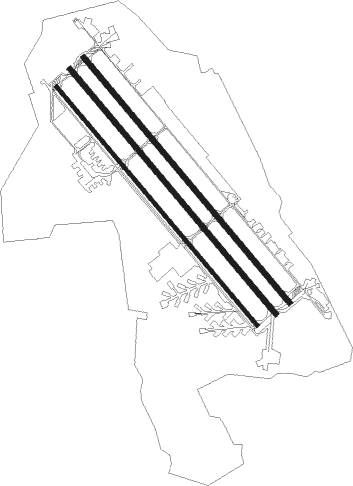
Runway info
Runway 16 / 34  | ||
| length | 2675m (8776ft) | |
| bearing | 138° / 318° | |
| width | 36m (118ft) | |
| surface | concrete | |
| displ threshold | 121m (397ft) / 112m (367ft) | |
| Runway 15L / 33R | ||
| length | 2747m (9012ft) | |
| bearing | 138° / 318° | |
| width | 46m (150ft) | |
| surface | asphalt | |
| blast zone | 255m (837ft) / 255m (837ft) | |
| Runway 15R / 33L | ||
| length | 2743m (8999ft) | |
| bearing | 138° / 318° | |
| width | 46m (150ft) | |
| surface | asphalt | |
| blast zone | 255m (837ft) / 255m (837ft) | |
Nearby beacons
| code | identifier | dist | bearing | frequency |
|---|---|---|---|---|
| SWN | SUWON TACAN | 0.2 | 271° | 108.50 |
| SOT | SONGTAN VORTAC | 8.8 | 170° | 116.90 |
| SEL | ANYANG VORTAC | 11 | 336° | 115.50 |
| KSM | SEOUL VOR/DME | 13.4 | 27° | 109.80 |
| SOL | SEOUL TACAN | 13.4 | 27° | 111.20 |
| PTK | PYONGTAEK VOR/DME | 16 | 178° | 108.20 |
| KIP | GIMPO (SEOUL) VOR/DME | 21.6 | 326° | 113.60 |
| WNG | WANGSAN (SEOUL) VOR/DME | 29 | 289° | 112.90 |
| YJU | YANGJU VOR/DME | 30.5 | 358° | 114.90 |
| NCN | INCHEON VOR/DME | 31.4 | 294° | 113.80 |
| CHO | CHEONGJU VOR/DME | 39.1 | 137° | 109 |
| CHJ | CHEONGJU TACAN | 39.5 | 137° | 110.50 |
| SAN | SEOSAN TACAN | 40.6 | 225° | 111.50 |
| JWN | CHOONGWON TACAN | 44.1 | 103° | 111.30 |
| WNJ | WONJU TACAN | 47 | 79° | 111.60 |
| HGS | WONJU VOR/DME | 48.3 | 76° | 110.20 |
| CJ | CHUCHON NDB | 51.7 | 48° | 360 |
Disclaimer
The information on this website is not for real aviation. Use this data with the X-Plane flight simulator only! Data taken with kind consent from X-Plane 12 source code and data files. Content is subject to change without notice.