Taean-gun - Taean
Airport details
| Country | South Korea |
| State | Chungcheongnam-do |
| Region | |
| Airspace | Incheon Ctr |
| Municipality | Taean-gun |
| Elevation | 16ft (5m) |
| Timezone | GMT +9 |
| Coordinates | 36.59859, 126.29330 |
| Magnetic var | |
| Type | land |
| Available since | X-Plane v10.40 |
| ICAO code | RKTA |
| IATA code | n/a |
| FAA code | n/a |
Communication
| Taean Ground Control | 121.825 |
| Taean Tower | 118.625 |
| Taean Haemi Approach | 124.600 |
Nearby Points of Interest:
Bowonsa
-Rock-carved triad buddha in Seosan
-Buseoksa
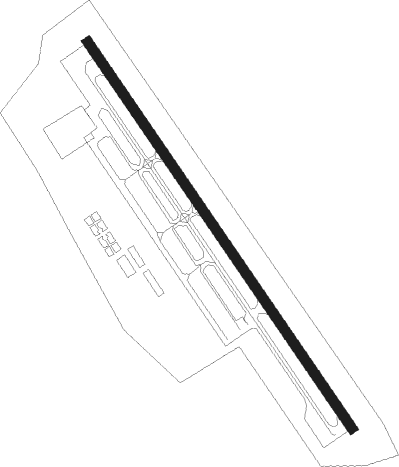
Runway info
| Runway 15 / 33 | ||
| length | 1181m (3875ft) | |
| bearing | 144° / 324° | |
| width | 25m (82ft) | |
| surface | asphalt | |
| blast zone | 59m (194ft) / 59m (194ft) | |
Nearby beacons
| code | identifier | dist | bearing | frequency |
|---|---|---|---|---|
| SAN | SEOSAN TACAN | 11.2 | 60° | 111.50 |
| PTK | PYONGTAEK VOR/DME | 41.4 | 63° | 108.20 |
| KUZ | KUNSAN VORTAC | 44.1 | 155° | 112.80 |
| SOT | SONGTAN VORTAC | 46.3 | 56° | 116.90 |
| WNG | WANGSAN (SEOUL) VOR/DME | 50.6 | 11° | 112.90 |
| SWN | SUWON TACAN | 51.3 | 48° | 108.50 |
| NCN | INCHEON VOR/DME | 54.2 | 9° | 113.80 |
| SEL | ANYANG VORTAC | 57.6 | 38° | 115.50 |
| KIP | GIMPO (SEOUL) VOR/DME | 62.3 | 27° | 113.60 |
| KSM | SEOUL VOR/DME | 64.3 | 44° | 109.80 |
| SOL | SEOUL TACAN | 64.3 | 44° | 111.20 |
Disclaimer
The information on this website is not for real aviation. Use this data with the X-Plane flight simulator only! Data taken with kind consent from X-Plane 12 source code and data files. Content is subject to change without notice.