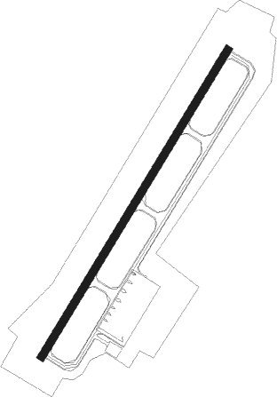
Ishigaki - New Ishigaki
Airport details
| Country | Japan |
| State | Okinawa Prefecture |
| Region | RJ |
| Airspace | Fukuoka Ctr |
| Municipality | Ishigaki |
| Elevation | 101ft (31m) |
| Timezone | GMT +9 |
| Coordinates | 24.39639, 124.24500 |
| Magnetic var | |
| Type | land |
| Available since | X-Plane v10.40 |
| ICAO code | ROIG |
| IATA code | ISG |
| FAA code | n/a |
Communication
| New Ishigaki ISHIGAKI Tower | 118.000 |
| New Ishigaki SAKISHIMA Approach | 120.300 |
Approach frequencies
| ILS-cat-I | RW04 | 110.75 | 18.00mi |
| 3° GS | RW04 | 110.75 | 18.00mi |
Nearby beacons
| code | identifier | dist | bearing | frequency |
|---|---|---|---|---|
| IGE | ISHIGAKIJIMA VOR/DME | 0.3 | 267° | 115.40 |
| SJE | SHIMOJISHIMA VOR/DME | 55.3 | 65° | 117.10 |
Departure and arrival routes
| Transition altitude | 14000ft |
| Transition level | 14000ft |
| SID end points | distance | outbound heading | |
|---|---|---|---|
| RW04 | |||
| GUSUK1 | 11mi | 69° | |
| MJC2, GAHRA2 | 62mi | 70° | |
| KOHAM1 | 11mi | 271° | |
| AYAKA2 | 36mi | 271° | |
| RW22 | |||
| GUSUK1 | 11mi | 69° | |
| GAHRA2, MJC2 | 62mi | 70° | |
| AYAKA2 | 36mi | 271° | |
| KOHAM1 | 11mi | 271° | |
| STAR starting points | distance | inbound heading | |
|---|---|---|---|
| ALL | |||
| DENSA, JOTTOW | 35.7 | 91° | |
| RW04 | |||
| JOTTON | 58.9 | 235° | |
| RW22 | |||
| YUNTAN | 58.9 | 235° | |
Instrument approach procedures
| runway | airway (heading) | route (dist, bearing) |
|---|---|---|
| RW04-Y | TOGAX (284°) | TOGAX 4000ft PAIGU (6mi, 257°) IG451 (6mi, 257°) 2000ft RICKY (3mi, 287°) 2000ft |
| RNAV | RICKY 2000ft IG200 (3mi, 359°) 982ft ROIG (3mi, 38°) 180ft IG452 (4mi, 38°) TOGAX (12mi, 120°) 4000ft TOGAX (turn) 4000ft | |
| RW04-Z | SEIJI (249°) | SEIJI 4000ft SIZKU (9mi, 229°) IG450 (9mi, 229°) 2000ft LAPNA (4mi, 275°) 2000ft |
| RNAV | LAPNA 2000ft IG200 (3mi, 360°) 982ft ROIG (3mi, 38°) 180ft IG452 (4mi, 38°) SEIJI (12mi, 79°) 4000ft SEIJI (turn) 4000ft | |
| RW22-X | PAZUU (253°) | PAZUU 4000ft MIKAR (5mi, 268°) MAYEE (5mi, 268°) 2700ft |
| RNAV | MAYEE 2700ft IG251 (1mi, 268°) 2228ft IG252 (2mi, 244°) 1526ft ROIG (5mi, 218°) 160ft IG253 (turn) IG254 (7mi, 218°) IG255 (7mi, 128°) PAZUU (21mi, 48°) 4000ft PAZUU (turn) 4000ft | |
| RW22-Y | OMOCK (218°) | OMOCK 4000ft MURAT (5mi, 218°) URIZN (4mi, 218°) 2200ft |
| RNAV | URIZN 2200ft ROIG (7mi, 218°) 160ft IG253 (turn) IG254 (7mi, 218°) IG255 (7mi, 128°) PAZUU (21mi, 48°) 4000ft PAZUU (turn) 4000ft | |
| RW22-Z | DENSA (194°) | DENSA 3000ft YUNTA (5mi, 124°) 3000ft |
| RW22-Z | MASAN (241°) | MASAN 3000ft YUNTA (5mi, 304°) 3000ft |
| RNAV | YUNTA 3000ft ORION (5mi, 218°) 2200ft IG250 (5mi, 218°) 575ft IG200 (5mi, 218°) MASAN (16mi, 57°) 3000ft MASAN (turn) 3000ft |
Disclaimer
The information on this website is not for real aviation. Use this data with the X-Plane flight simulator only! Data taken with kind consent from X-Plane 12 source code and data files. Content is subject to change without notice.
