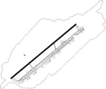
Ginowan - Futenma Mcas
Airport details
| Country | Japan |
| State | Okinawa Prefecture |
| Region | RJ |
| Airspace | Fukuoka Ctr |
| Municipality | Ginowan |
| Elevation | 248ft (76m) |
| Timezone | GMT +9 |
| Coordinates | 26.27061, 127.75343 |
| Magnetic var | |
| Type | land |
| Available since | X-Plane v10.40 |
| ICAO code | ROTM |
| IATA code | n/a |
| FAA code | n/a |
Communication
| Futenma MCAS Ground Control | 122.800 |
| Futenma MCAS Tower | 123.600 |
| Futenma MCAS Approach | 119.100 |
| Futenma MCAS Departure | 126.500 |
Nearby Points of Interest:
Gusuku Sites and Related Properties of the Kingdom of Ryukyu
-Lake Man
-Kerama Islands
-Tonaki Island
-Yanbaru
Nearby beacons
| code | identifier | dist | bearing | frequency |
|---|---|---|---|---|
| NFO | FUTENMA (OKINAWA I.) TACAN | 0.5 | 261° | 110.50 |
| KAD | KADENA (OKINAWA) VORTAC | 5.2 | 10° | 112 |
| NHC | NAHA VORTAC | 7 | 241° | 116.50 |
| TIT | CHINEN TACAN | 7 | 157° | 114.20 |
| YRE | YORON VOR/DME | 57.9 | 40° | 112.25 |
Departure and arrival routes
| Transition altitude | 14000ft |
| Transition level | 14000ft |
| SID end points | distance | outbound heading | |
|---|---|---|---|
| RW06 | |||
| ADDAN6 | 163mi | 40° | |
| TIT7 | 84mi | 220° | |
| RW24 | |||
| ADDAN6 | 163mi | 40° | |
| TIT7 | 84mi | 220° | |
Instrument approach procedures
| runway | airway (heading) | route (dist, bearing) |
|---|---|---|
| RW06 | CWBOY (58°) | CWBOY 3000ft |
| RNAV | CWBOY 3000ft BMPER (5mi, 58°) 2200ft ROTM (6mi, 58°) 289ft (7405mi, 258°) 648ft KKOLB (7413mi, 78°) 3000ft KKOLB (turn) 6000ft | |
| RW24 | ABBRA (237°) | ABBRA 2000ft |
| RNAV | ABBRA 2000ft KDABR (5mi, 238°) 2000ft ROTM (6mi, 237°) 298ft (7405mi, 258°) 648ft KKOLB (7413mi, 78°) 3000ft KKOLB (turn) 6000ft |
Disclaimer
The information on this website is not for real aviation. Use this data with the X-Plane flight simulator only! Data taken with kind consent from X-Plane 12 source code and data files. Content is subject to change without notice.