Malita
Airport details
| Country | Philippines |
| State | Davao Occidental |
| Region | |
| Airspace | Manila Ctr |
| Municipality | Malita |
| Elevation | 16ft (5m) |
| Timezone | GMT +8 |
| Coordinates | 6.40225, 125.61932 |
| Magnetic var | |
| Type | land |
| Available since | X-Plane v10.40 |
| ICAO code | RP17 |
| IATA code | n/a |
| FAA code | n/a |
Communication
| Malita CTAF | 121.900 |
Nearby Points of Interest:
Mount Hamiguitan Range Wildlife Sanctuary
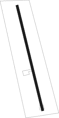
Runway info
| Runway 17 / 35 | ||
| length | 1209m (3967ft) | |
| bearing | 171° / 351° | |
| width | 30m (98ft) | |
| surface | concrete | |
Nearby beacons
| code | identifier | dist | bearing | frequency |
|---|---|---|---|---|
| GSA | TAMBLER VOR/DME | 37 | 238° | 114.50 |
| DAO | DAVAO VOR/DME | 43.8 | 3° | 112.10 |
| AV | ALLAH VALLEY (SURALLAH) NDB | 51.9 | 268° | 377 |
Disclaimer
The information on this website is not for real aviation. Use this data with the X-Plane flight simulator only! Data taken with kind consent from X-Plane 12 source code and data files. Content is subject to change without notice.