Jomalig
Airport details
| Country | Philippines |
| State | Quezon |
| Region | RP |
| Airspace | Manila Ctr |
| Municipality | Jomalig |
| Elevation | 11ft (3m) |
| Timezone | GMT +8 |
| Coordinates | 14.70475, 122.33163 |
| Magnetic var | |
| Type | land |
| Available since | X-Plane v10.40 |
| ICAO code | RPLJ |
| IATA code | n/a |
| FAA code | n/a |
Communication
| Jomalig CTAF | 121.900 |
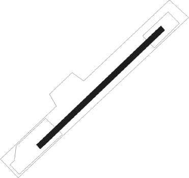
Runway info
| Runway 07 / 25 | ||
| length | 894m (2933ft) | |
| bearing | 52° / 232° | |
| width | 30m (98ft) | |
| surface | grass | |
Nearby beacons
| code | identifier | dist | bearing | frequency |
|---|---|---|---|---|
| JOM | JOMALIG VOR/DME | 0 | 274° | 116.70 |
Disclaimer
The information on this website is not for real aviation. Use this data with the X-Plane flight simulator only! Data taken with kind consent from X-Plane 12 source code and data files. Content is subject to change without notice.