Taytay
Airport details
| Country | Philippines |
| State | Palawan |
| Region | |
| Airspace | Manila Ctr |
| Elevation | 48ft (15m) |
| Timezone | GMT +8 |
| Coordinates | 11.05086, 119.51932 |
| Magnetic var | |
| Type | land |
| Available since | X-Plane v10.40 |
| ICAO code | RPSD |
| IATA code | RZP |
| FAA code | n/a |
Communication
| Taytay CTAF | 121.900 |
Nearby Points of Interest:
El Nido-Taytay Managed Resource Protected Area
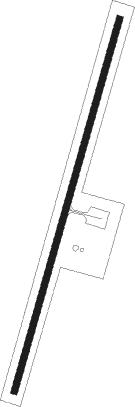
Runway info
| Runway 02 / 20 | ||
| length | 1104m (3622ft) | |
| bearing | 21° / 201° | |
| width | 18m (60ft) | |
| surface | concrete | |
Nearby beacons
| code | identifier | dist | bearing | frequency |
|---|---|---|---|---|
| MP | MALAMPAYA NDB | 50.1 | 346° | 315 |
Disclaimer
The information on this website is not for real aviation. Use this data with the X-Plane flight simulator only! Data taken with kind consent from X-Plane 12 source code and data files. Content is subject to change without notice.